Limefield Court Care Home
Limefield Court Care Home is a building in Metropolitan Borough of Bury, England. Limefield Court Care Home is situated nearby to Springside Primary School, as well as near the forest Seedfield Wood.| Tap on a place to explore it |
Places of Interest Nearby
Highlights include Burrs Country Park railway station and Burrs Country Park.
Burrs Country Park railway station
Railway station

Photo: A17Jefford, CC BY-SA 4.0.
Burrs Country Park railway station is a stop on the heritage East Lancashire Railway. It is sited close to the 36 hectare Burrs Country Park site, on the banks of the River Irwell, in the town of Bury, Greater Manchester, England. Burrs Country Park railway station is situated 1,900 feet southwest of Limefield Court Care Home.
Burrs Country Park
Park

Photo: Dennis Turner, CC BY-SA 2.0.
Burrs Country Park covers a 36 hectares site on the banks of the River Irwell, in the north of the town of Bury, Greater Manchester, England. Burrs Country Park is situated 2,500 feet southwest of Limefield Court Care Home.
Clarence Park
Park

Photo: David Dixon, CC BY-SA 2.0.
Clarence Park is a Green Flag awarded public park located in Bury, Greater Manchester. It is the largest urban park in the borough, and was opened to the public in 1888. Clarence Park is situated 3,400 feet southeast of Limefield Court Care Home.
Places in the Area
Nearby places include Summerseat and Bury.
Summerseat
Village

Photo: Paul Anderson, CC BY-SA 2.0.
Summerseat is a village in the Metropolitan Borough of Bury, Greater Manchester, England; it is sited directly south of Ramsbottom.
Bury

Photo: jolmartyn, CC BY-SA 3.0.
Bury is a town and borough in Greater Manchester, in the North West of England, ten miles north of central Manchester. Bury is a former mill town known for manufacturing textiles.
Birtle
Hamlet
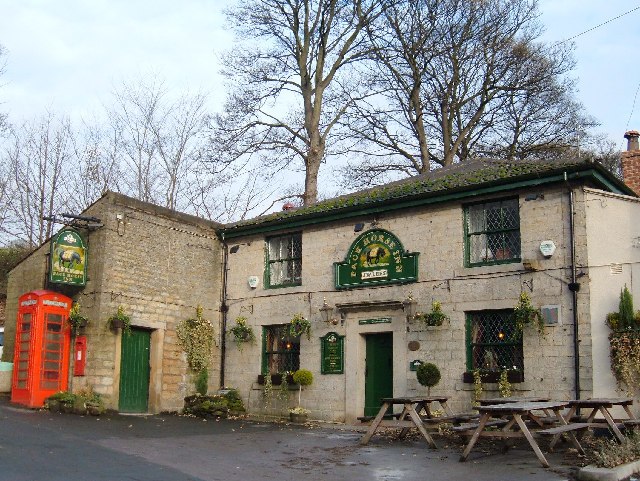
Photo: michael ely, CC BY-SA 2.0.
Birtle is an affluent hamlet Historically in the parish of bury, Lancashire now within the Metropolitan Borough of Rochdale, in Greater Manchester, England. Birtle is situated 1½ miles east of Limefield Court Care Home.
Limefield Court Care Home
Latitude
53.61356° or 53° 36′ 49″ northLongitude
-2.29529° or 2° 17′ 43″ westOpen location code
9C5VJP73+CVOpenStreetMap ID
way 475891105OpenStreetMap feature
building=yes
This page is based on OpenStreetMap, Wikidata, and Wikimedia Commons.
We’d love your help improving our open data sources. Thank you for contributing.
Satellite Map
Discover Limefield Court Care Home from above in high-definition satellite imagery.
Notable Places Nearby
Highlights include Springside Primary School and Seedfield Wood.
Nearby Places
Explore places such as Walmersley Road/Limefield Brow and Limefield Brow/Walmersley Road.
England: Must-Visit Destinations
Delve into London, Manchester, Sheffield, and Leeds.
Curious Buildings to Discover
Uncover intriguing buildings from every corner of the globe.
About Mapcarta. Data © OpenStreetMap contributors and available under the Open Database License". Text is available under the CC BY-SA 4.0 license, except for photos, directions, and the map. Photo: sidibousaid, CC BY 2.0.