100 Street ETS
100 Street ETS is a building in Edmonton, Edmonton Capital Region, Alberta which is located on 100 Street NW. 100 Street ETS is situated nearby to the square ATB Place, as well as near Robertson College.| Tap on a place to explore it |
Places of Interest Nearby
Highlights include Hotel Macdonald and Central station.
Hotel Macdonald
Hotel

Photo: WinterE229, CC0.
The Fairmont Hotel Macdonald, formerly and commonly known as the Hotel Macdonald, is a large historic luxury hotel in Edmonton, Alberta, Canada. Located along 100 Street NW, south of Jasper Avenue, the hotel is situated in the eastern end of downtown Edmonton, and overlooks the North Saskatchewan River.
Central station
Railway station

Photo: TagaSanPedroAko, CC BY-SA 4.0.
Central Station is an Edmonton LRT station in Edmonton, Alberta, Canada. It serves both the Capital Line and the Metro Line. It an underground station located beneath Jasper Avenue between 100 Street and 101 Street. Central station is situated 140 metres northwest of 100 Street ETS.
McDougall United Church
Church

Photo: badcomputer, CC BY-SA 2.0.
The McDougall United Church is a church located in Downtown Edmonton, Alberta, Canada, at 10086 MacDonald Drive NW. McDougall United Church is situated 180 metres west of 100 Street ETS.
Places in the Area
Nearby places include Rossdale and Riverdale.
Rossdale
Neighborhood
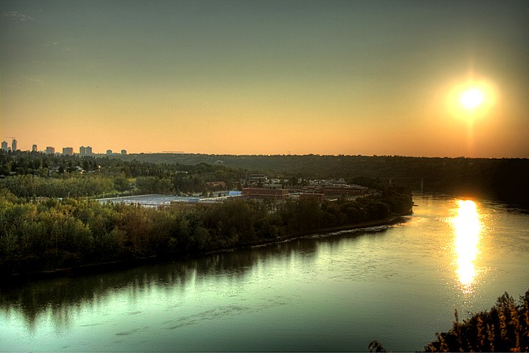
Photo: WinterE229, CC0.
Rossdale is a river valley neighbourhood in the city of Edmonton, Alberta, Canada, located immediately south of the downtown core. It is a popular residential neighbourhood with easy access to downtown, the University of Alberta, the Edmonton river valley park system, and other amenities.
Riverdale
Neighborhood
Riverdale is a river valley neighbourhood located just east of the downtown core in the city of Edmonton, Alberta, Canada. Its boundaries on the east and south are the North Saskatchewan River from which the name of the community is associated with.
Boyle Street
Neighborhood
Boyle Street is a neighbourhood located in central Edmonton, Alberta, Canada, immediately east of the downtown core. The neighbourhood is bounded by Grierson Hill to Rowland Road until Alex Taylor Road and then Jasper Avenue east until 82 Street by the south…
100 Street ETS
- Type: Public transport
- Address: 100 Street NW, Edmonton, T5J
- Categories: building and transportation
- Location: Edmonton, Edmonton Capital Region, Alberta, Prairies, Canada, North America
- View on OpenStreetMap
Latitude
53.5403° or 53° 32′ 25″ northLongitude
-113.49048° or 113° 29′ 26″ westLevels
1Height
2 metres (6.6 feet)Open location code
9558GGR5+4ROpenStreetMap ID
way 476422414OpenStreetMap feature
building=transportation
This page is based on OpenStreetMap, Wikidata, and Wikimedia Commons.
We’d love your help improving our open data sources. Thank you for contributing.
Satellite Map
Discover 100 Street ETS from above in high-definition satellite imagery.
Notable Places Nearby
Highlights include ATB Place and Robertson College.
Nearby Places
Explore places such as 100 Street & Jasper Avenue and Digital School Technical Design College.
Edmonton: Must-Visit Destinations
Delve into Central Edmonton, South Central, South Edmonton, and North Edmonton.
Curious Places to Discover
Uncover intriguing places from every corner of the globe.
About Mapcarta. Data © OpenStreetMap contributors and available under the Open Database License". Text is available under the CC BY-SA 4.0 license, except for photos, directions, and the map. Photo: WinterE229, CC0.