Ormeignies Communal Cemetery
Ormeignies Communal Cemetery is a cemetery in Ath, Hainaut, Wallonia which is located on Rue de la Tatouille. Ormeignies Communal Cemetery is situated nearby to the grassland Pelouse de dispersion, as well as near the cemetery Commonwealth War Graves.| Tap on a place to explore it |
Photo: Wernervc, CC BY-SA 4.0.
- Type: Cemetery
- Also known as: “Cimetière d’Ormeignies”
- Address: Rue de la Tatouille, Ath, 7800
Places of Interest Nearby
Highlights include Château de Moulbaix and Ath railway station.
Château de Moulbaix
Castle

Photo: Wikimedia, Public domain.
Château de Moulbaix is a castle, which is situated 3½ km west of Ormeignies Communal Cemetery.
Ath railway station
Railway station

Photo: Jean-Pol GRANDMONT, CC BY 3.0.
Ath railway station is situated 4 km north of Ormeignies Communal Cemetery.
Irchonwelz Communal Cemetery
Cemetery

Photo: Wernervc, CC BY-SA 4.0.
Irchonwelz Communal Cemetery is situated 3 km north of Ormeignies Communal Cemetery.
Places in the Area
Nearby places include Huissignies and Attre.
Huissignies
Village
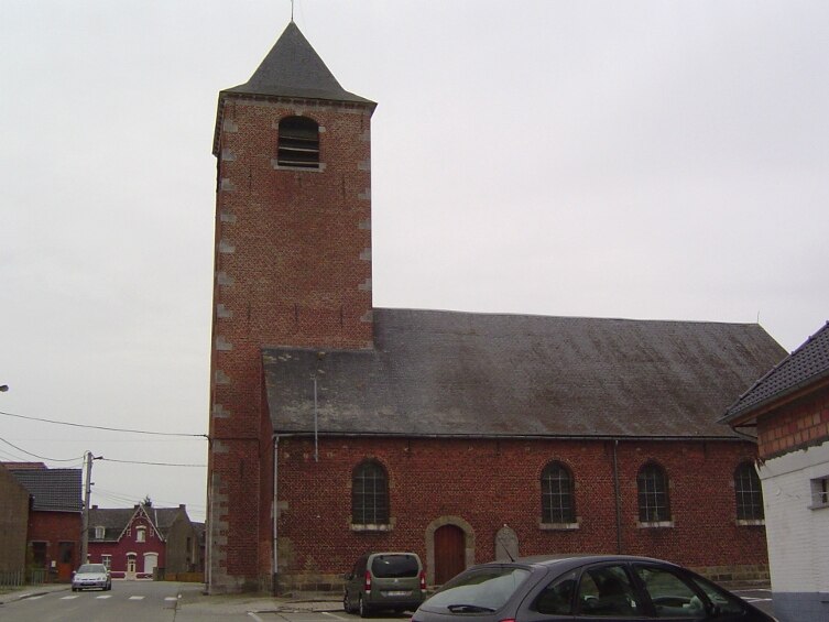
Photo: Laika, CC BY-SA 3.0.
Huissignies is a village, which is situated 3½ km south of Ormeignies Communal Cemetery.
Attre
Village

Photo: Jean-Pol GRANDMONT, CC BY 2.5.
Attre is a village, which is situated 6 km east of Ormeignies Communal Cemetery.
Aubechies
Village

Photo: Wikimedia, CC BY-SA 2.5.
Aubechies is a village of Wallonia and a district of the municipality of Belœil, located in the province of Hainaut, Belgium. Aubechies is a member of the Les Plus Beaux Villages de Wallonie association. Aubechies is situated 6 km west of Ormeignies Communal Cemetery.
Ormeignies Communal Cemetery
- Category: burial
- Location: Ath, Arrondissement of Ath, Hainaut, Wallonia, Belgium, Benelux, Europe
- View on OpenStreetMap
Latitude
50.59478° or 50° 35′ 41″ northLongitude
3.75872° or 3° 45′ 31″ eastOpen location code
9F25HQV5+WFOpenStreetMap ID
way 482614863OpenStreetMap feature
landuse=cemeteryWikidata ID
Q55961590
This page is based on OpenStreetMap, Wikidata, and Wikimedia Commons.
We’d love your help improving our open data sources. Thank you for contributing.
Satellite Map
Discover Ormeignies Communal Cemetery from above in high-definition satellite imagery.
In Other Languages
“Ormeignies Communal Cemetery” goes by many names.
- Dutch: “Begraafplaats van Ormeignies”
Notable Places Nearby
Highlights include Pelouse de dispersion and Commonwealth War Graves.
Nearby Places
Explore places such as Columbarium and Ormeignies Rue de Chièvres, 49.
Hainaut: Must-Visit Destinations
Delve into Charleroi, Mons, Tournai, and La Louvière.
Curious Cemeteries to Discover
Uncover intriguing cemeteries from every corner of the globe.
About Mapcarta. Data © OpenStreetMap contributors and available under the Open Database License". Text is available under the CC BY-SA 4.0 license, except for photos, directions, and the map. Photo: Wernervc, CC BY-SA 4.0.