Fenmarc Produce
Fenmarc Produce is in Elm, Fenland District, England. Fenmarc Produce is situated nearby to the community center The Elm Centre, as well as near Elm CofE Primary School.| Tap on a place to explore it |
Places of Interest Nearby
Highlights include Church of St Edmund and Elm War Memorial, Cambridgeshire.
Church of St Edmund
Church

Photo: Wikimedia, CC BY-SA 2.0.
Church of St Edmund is situated 1 mile northeast of Fenmarc Produce.
Elm War Memorial, Cambridgeshire
Memorial

Photo: Evelyn Simak, CC BY-SA 2.0.
Elm War Memorial, Cambridgeshire is situated 3,900 feet northwest of Fenmarc Produce.
Wisbech & Fenland Museum
Museum
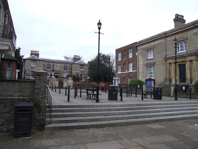
Photo: Tony Bennett, CC BY-SA 2.0.
The Wisbech & Fenland Museum, located in the town of Wisbech in the Isle of Ely, Cambridgeshire, England, is one of the oldest purpose-built museums in the United Kingdom. The museum logo is W&F. Wisbech & Fenland Museum is situated 2½ miles northwest of Fenmarc Produce.
Places in the Area
Nearby places include Elm and Friday Bridge.
Elm
Village
Elm is a village and civil parish in the Fenland District of Cambridgeshire, England. In Domesday, it is called Helle. The village is about 11⁄2 miles or 21⁄2 km south of the market town of Wisbech, immediately to the south of the Wisbech by-pass.
Friday Bridge
Village

Photo: shirokazan, CC BY 2.0.
Friday Bridge is a village in the civil parish of Elm, in the Fenland district of Cambridgeshire, England. It is 3 miles south of the town of Wisbech. In 2021 it had a population of 1412.
Wisbech

Photo: Theyellowtulip, CC BY-SA 3.0.
Wisbech is a town of 32,000 people in Cambridgeshire, England. Wisbech is noteworthy for its fine examples of Georgian architecture, particularly the parade of houses along the North Brink, which includes the National Trust property of Peckover House and the Crescent, a circus surrounding Wisbech Castle.
Fenmarc Produce
- Type: Industry
- Location: Elm, Fenland District, Cambridgeshire, England, United Kingdom, Britain and Ireland, Europe
- View on OpenStreetMap
Latitude
52.63293° or 52° 37′ 59″ northLongitude
0.18383° or 0° 11′ 2″ eastOpen location code
9F42J5MM+5GOpenStreetMap ID
way 497704461OpenStreetMap feature
landuse=industrial
This page is based on OpenStreetMap, Wikidata, and Wikimedia Commons.
We’d love your help improving our open data sources. Thank you for contributing.
Satellite Map
Discover Fenmarc Produce from above in high-definition satellite imagery.
Notable Places Nearby
Highlights include The Elm Centre and Elm CofE Primary School.
Nearby Places
Explore places such as Fenmarc Produce and Tramways Farm Shop.
England: Must-Visit Destinations
Delve into London, Manchester, Sheffield, and Leeds.
Curious Places to Discover
Uncover intriguing places from every corner of the globe.
About Mapcarta. Data © OpenStreetMap contributors and available under the Open Database License". Text is available under the CC BY-SA 4.0 license, except for photos, directions, and the map. Photo: sidibousaid, CC BY 2.0.