High Bergh
High Bergh is a heath in Halton Gill, Craven District, England. High Bergh is situated nearby to the heath Low Bergh, as well as near Far Bergh.| Tap on a place to explore it |
Places of Interest Nearby
Highlights include Plover Hill and Pen-y-ghent.
Plover Hill
Peak

Photo: Tom Richardson, CC BY-SA 2.0.
Plover Hill is an area of moorland lying to the north of Pen-y-ghent in the Yorkshire Dales and connected to it by an unbroken area of high ground. Whilst the whole area is now "open access land", the main right-of-way footpaths come directly from the north off Foxup Road and directly from the south from the summit of Pen-y-ghent.
Pen-y-ghent
Peak

Photo: Tim Cook, CC BY-SA 2.0.
Pen-y-ghent or Penyghent is a fell in the Yorkshire Dales, England. It is the lowest of Yorkshire's Three Peaks at 2,277 feet; the other two being Ingleborough and Whernside. Pen-y-ghent is situated 2½ miles southwest of High Bergh.
Giants’ Graves
Archaeological site

Photo: John Illingworth, CC BY-SA 2.0.
Giants’ Graves is an archaeological site, which is situated 1½ miles south of High Bergh.
Places in the Area
Nearby places include Foxup and Hesleden.
Foxup
Hamlet
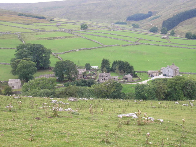
Photo: Wikimedia, CC BY-SA 2.0.
Foxup is a hamlet in the Yorkshire Dales in the county of North Yorkshire, England. The hamlet is near Halton Gill and Litton and is 13 miles north west of Grassington.
Hesleden
Hamlet

Photo: Oliver Dixon, CC BY-SA 2.0.
Hesleden is a hamlet in Littondale in the Yorkshire Dales in England. It lies within the civil parish of Halton Gill in the county of North Yorkshire. Nether Hesleden is 1.1 miles west of Litton, and Upper Hesleden is a further 1.4 miles west, on the road from Halton Gill to Stainforth.
Beckermonds
Hamlet

Photo: Wikimedia, CC BY-SA 2.0.
Beckermonds is a small hamlet in the county of North Yorkshire, England. The hamlet lies at the western end of Langstrothdale, at the confluence of Green Field Beck and Oughtershaw Beck, which join to form the start of the River Wharfe. Beckermonds is situated 3 miles north of High Bergh.
High Bergh
- Type: Heath
- Location: Halton Gill, Craven District, North Yorkshire, Yorkshire, England, United Kingdom, Britain and Ireland, Europe
- View on OpenStreetMap
Latitude
54.17823° or 54° 10′ 42″ northLongitude
-2.20605° or 2° 12′ 22″ westOpen location code
9C6V5QHV+7HOpenStreetMap ID
way 507776621OpenStreetMap feature
natural=heath
This page is based on OpenStreetMap, Wikidata, and Wikimedia Commons.
We’d love your help improving our open data sources. Thank you for contributing.
Satellite Map
Discover High Bergh from above in high-definition satellite imagery.
Places with the Same Name
Discover other places named “High Bergh”.
Notable Places Nearby
Highlights include Low Bergh and Far Bergh.
Nearby Places
Explore places such as Tommy’s Croft Lathe and Angram Barn.
North Yorkshire: Must-Visit Destinations
Delve into York, Middlesbrough, Scarborough, and Ripon.
Curious Heaths to Discover
Uncover intriguing heaths from every corner of the globe.
About Mapcarta. Data © OpenStreetMap contributors and available under the Open Database License". Text is available under the CC BY-SA 4.0 license, except for photos, directions, and the map. Photo: Michael Bryan, CC BY 2.0.