Progress Estate
The Progress Estate is a housing estate located in Well Hall, Eltham, in the Royal Borough of Greenwich, South East London. It was built in 1915 to house some of the senior and skilled workers employed at the nearby Royal Arsenal munitions factories in Woolwich.| Tap on a place to explore it |
Photo: PeterEltham, CC BY-SA 3.0.
Places of Interest Nearby
Highlights include Severndroog Castle and Greenwich Cemetery.
Severndroog Castle

Photo: Veghead, Public domain.
Severndroog Castle is a folly designed by architect Richard Jupp, with the first stone laid on 2 April 1784. While commonly referred to as a castle due to its turrets, it was built as a folly, as can be discerned by its small size and because it has never functioned as a castle. Severndroog Castle is situated 2,000 feet northeast of Progress Estate.
Greenwich Cemetery
Cemetery

Photo: Irid Escent, CC BY-SA 2.0.
Greenwich Cemetery is a cemetery in the Royal Borough of Greenwich in southeast London. It is situated on the southwestern slopes of Shooter's Hill, on the western side of the A205 South Circular, Well Hall Road, approximately halfway between Woolwich, to the north, and Eltham, to the south. Greenwich Cemetery is situated 1,400 feet northwest of Progress Estate.
St Barnabas, Eltham
Church

Photo: Stephen Craven, CC BY-SA 2.0.
St Barnabas, Eltham is a church, which is situated 1,700 feet southwest of Progress Estate.
Places in the Area
Nearby places include Well Hall and Shooter’s Hill.
Well Hall
Suburb
Well Hall is a place to the north of Eltham in the Royal Borough of Greenwich in southeast London, England, with no present formal boundaries and located 13.5 km east-southeast of Charing Cross.
Shooter’s Hill
Suburb
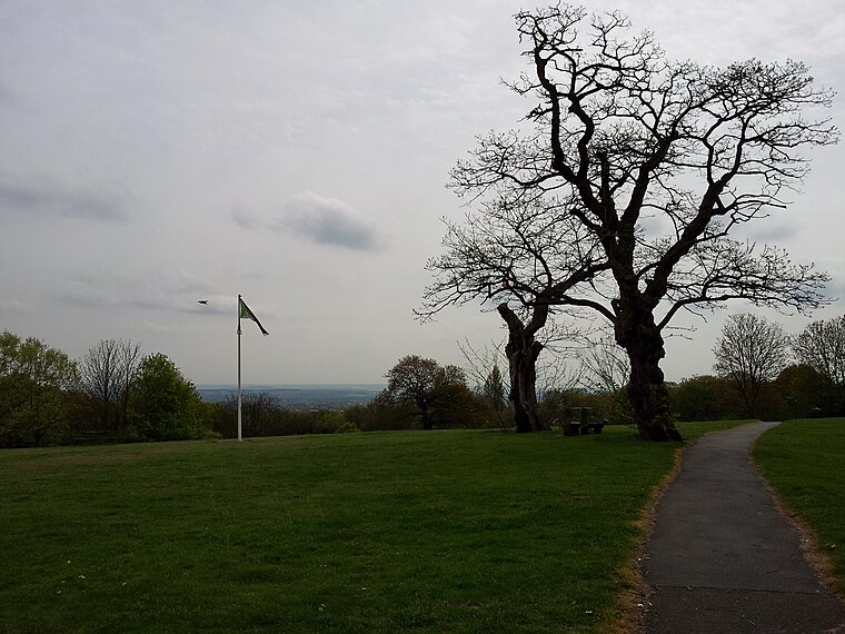
Photo: Kleon3, CC BY-SA 4.0.
Shooter's Hill is a district of South East London, England, straddling the Royal Borough of Greenwich and the London Borough of Bexley. It lies north of Eltham and south of Woolwich.
Eltham
Town
Photo: Kleon3, CC BY-SA 4.0.
Eltham is a district of southeast London, England, within the Royal Borough of Greenwich. It is 8.7 miles east-southeast of Charing Cross, and is identified in the London Plan as one of 35 major centres in Greater London.
Progress Estate
- Type: Residential area
- Description: Housing estate in Eltham, London
- Category: housing estate
- Location: Greenwich, Greater London, London, England, United Kingdom, Britain and Ireland, Europe
- View on OpenStreetMap
Latitude
51.46365° or 51° 27′ 49″ northLongitude
0.05278° or 0° 3′ 10″ eastInception
1915Open location code
9F32F373+F4OpenStreetMap ID
way 510540881OpenStreetMap feature
landuse=residentialWikidata ID
Q21062386
This page is based on OpenStreetMap, Wikidata, Wikimedia Commons, and Wikipedia.
We’d love your help improving our open data sources. Thank you for contributing.
Satellite Map
Discover Progress Estate from above in high-definition satellite imagery.
Notable Places Nearby
Highlights include St John Fisher & Thomas More and Well Hall Roundabout.
Nearby Places
Explore places such as Arbroath Road and Stephen Lawrence.
London: Must-Visit Destinations
Delve into South Kensington-Chelsea, Heathrow Airport, City of London, and Westminster.
Curious Residential Areas to Discover
Uncover intriguing residential areas from every corner of the globe.
About Mapcarta. Data © OpenStreetMap contributors and available under the Open Database License". Text is available under the CC BY-SA 4.0 license, except for photos, directions, and the map. Description text is based on the Wikipedia page “Progress Estate”. Photo: PeterEltham, CC BY-SA 3.0.