Le Sawhis
Le Sawhis is in Namur, Wallonia. Le Sawhis is situated nearby to the forest Bois d’Ossogne, as well as near the cemetery Cimetière d’Havelange.| Tap on a place to explore it |
Places of Interest Nearby
Highlights include Saint-Hubert Chapel.
Saint-Hubert Chapel
Church
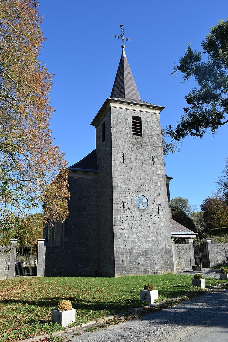
Photo: Jeanhousen, CC BY-SA 4.0.
Saint-Hubert Chapel is a church, which is situated 3 km northwest of Le Sawhis.
Places in the Area
Nearby places include Havelange and Montegnet.
Havelange
Village

Photo: Les Meloures, CC BY-SA 2.5.
Havelange is a municipality of Wallonia located in the province of Namur, Belgium. On 1 January 2006 the municipality had 4,844 inhabitants. The total area is 104.73 km², giving a population density of 45 inhabitants per km².
Montegnet
Hamlet

Photo: Wikimedia, CC BY-SA 4.0.
Montegnet is a hamlet, which is situated 3 km southwest of Le Sawhis.
Pailhe
Village

Photo: Rebexho, CC BY-SA 3.0.
Pailhe is a district of the municipality of Clavier, located in the province of Liège in Wallonia, Belgium. The settlement consists of the village Pailhe and the hamlet Saint-Fontaine. Pailhe is situated 3 km northeast of Le Sawhis.
Le Sawhis
Latitude
50.39932° or 50° 23′ 58″ northLongitude
5.23236° or 5° 13′ 57″ eastOpen location code
9F2796XJ+PWOpenStreetMap ID
way 512847400OpenStreetMap feature
natural=scrub
This page is based on OpenStreetMap, Wikidata, and Wikimedia Commons.
We’d love your help improving our open data sources. Thank you for contributing.
Satellite Map
Discover Le Sawhis from above in high-definition satellite imagery.
Notable Places Nearby
Highlights include Bois d’Ossogne and Cimetière d’Havelange.
Nearby Places
Explore places such as Marche de l’évolution and Longue tablée.
Curious Places to Discover
Uncover intriguing places from every corner of the globe.
About Mapcarta. Data © OpenStreetMap contributors and available under the Open Database License". Text is available under the CC BY-SA 4.0 license, except for photos, directions, and the map. Photo: Zairon, CC BY-SA 4.0.