Duinroos
Duinroos is a house in Beverwijk Municipality, North Holland. Duinroos is situated nearby to the church Sint Odulfuskerk, as well as near Dorpskerk.| Tap on a place to explore it |
Places of Interest Nearby
Highlights include Fort IJmuiden and Hoogovensmuseum.
Fort IJmuiden
Fort

Photo: AdMeskens, CC BY-SA 3.0.
Fort IJmuiden is a former fort, now heritage site and event location in IJmuiden North-Holland. It protected the entrance to the North Sea Canal. The fort was originally located north of the canal, but by the construction of a new branch, it became an island. Fort IJmuiden is situated 3 km south of Duinroos.
Hoogovensmuseum
Museum
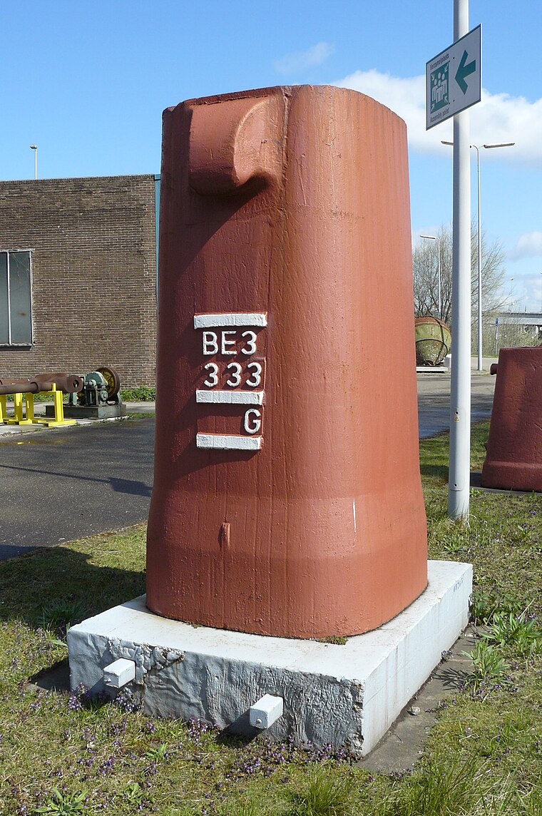
Photo: Zandcee, CC BY-SA 4.0.
The Hoogovensmuseum is a museum located on the northern side of the North Sea Canal sluice gates at IJmuiden, in the former "buizengieterij" of Koninklijke Hoogovens, now Tata Steel IJmuiden, on the Buizenweg in Velsen-Noord. Hoogovensmuseum is situated 3 km southeast of Duinroos.
Hoge vuurtoren van IJmuiden
Lighthouse

Photo: Rudolphous, CC BY-SA 4.0.
The hoge vuurtoren van IJmuiden is a round, cast-iron lighthouse in IJmuiden, Netherlands, designed by Quirinus Harder. It was built in 1878 by D.A. Schretlen & Co, a company in Leiden. Hoge vuurtoren van IJmuiden is situated 3½ km south of Duinroos.
Places in the Area
Nearby places include Wijk aan Zee and Velsen-Noord.
Wijk aan Zee
Village

Photo: Arch, Public domain.
Wijk aan Zee is a village on the coast of the North Sea in the municipality of Beverwijk, the province of North Holland of the Netherlands. The prestigious Tata Steel Chess Tournament takes place there every year.
Velsen-Noord
Village

Photo: Debot, CC BY-SA 3.0.
Velsen-Noord is a village in the Dutch province of North Holland. It is a part of the municipality of Velsen, and lies about 10 km north of Haarlem. From 1865 on, when the construction on the North Sea Canal began, the town of Velsen, which originated in Roman times, was split in two parts. Velsen-Noord is situated 4 km southeast of Duinroos.
Heemskerkerduin
Hamlet

Photo: Jarkeld, CC BY-SA 3.0 nl.
Heemskerkerduin is a hamlet, which is situated 4 km northeast of Duinroos.
Duinroos
- Type: House
- Categories: building and residential building
- Location: Beverwijk Municipality, North Holland, Western Netherlands, Netherlands, Benelux, Europe
- View on OpenStreetMap
Latitude
52.49165° or 52° 29′ 30″ northLongitude
4.58895° or 4° 35′ 20″ eastInception
1977Open location code
9F46FHRQ+MHOpenStreetMap ID
way 52414702OpenStreetMap feature
building=house
This page is based on OpenStreetMap, Wikidata, and Wikimedia Commons.
We’d love your help improving our open data sources. Thank you for contributing.
Satellite Map
Discover Duinroos from above in high-definition satellite imagery.
Places with the Same Name
Discover other places named “Duinroos”.
Notable Places Nearby
Highlights include Sint Odulfuskerk and Dorpskerk.
Nearby Places
Explore places such as Santiago and Duin en Dal.
North Holland: Must-Visit Destinations
Delve into Amsterdam, Haarlem, Alkmaar, and Schiphol Airport.
Curious Houses to Discover
Uncover intriguing houses from every corner of the globe.
About Mapcarta. Data © OpenStreetMap contributors and available under the Open Database License". Text is available under the CC BY-SA 4.0 license, except for photos, directions, and the map. Photo: Arch, Public domain.