L12 - Insurgentes Sur
L12 - Insurgentes Sur is a building in Benito Juárez Borough, Mexico City. L12 - Insurgentes Sur is situated nearby to the health club Smart Fit, as well as near Casino Life.| Tap on a place to explore it |
Places of Interest Nearby
Highlights include Insurgentes Sur metro station and Estadio Ciudad de los Deportes.
Insurgentes Sur metro station
Railway stop
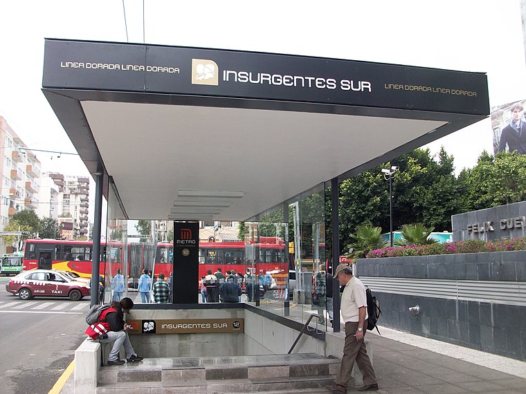
Photo: GAED, CC BY-SA 3.0.
Insurgentes Sur is a station on Line 12 of the Mexico City Metro. The station is located between Mixcoac and Hospital 20 de Noviembre. It was opened on 30 October 2012 as part of the first stretch of Line 12 between Mixcoac and Tláhuac. Insurgentes Sur metro station is situated 170 metres east of L12 - Insurgentes Sur.
Estadio Ciudad de los Deportes
Stadium

Photo: ProtoplasmaKid, CC BY-SA 4.0.
Estadio Ciudad de los Deportes is a 34,253-seat multi-purpose stadium located in Ciudad de los Deportes, Mexico City. The facility is used for association football matches and for American football as well. Estadio Ciudad de los Deportes is situated 1 km north of L12 - Insurgentes Sur.
Parque Hundido
Park
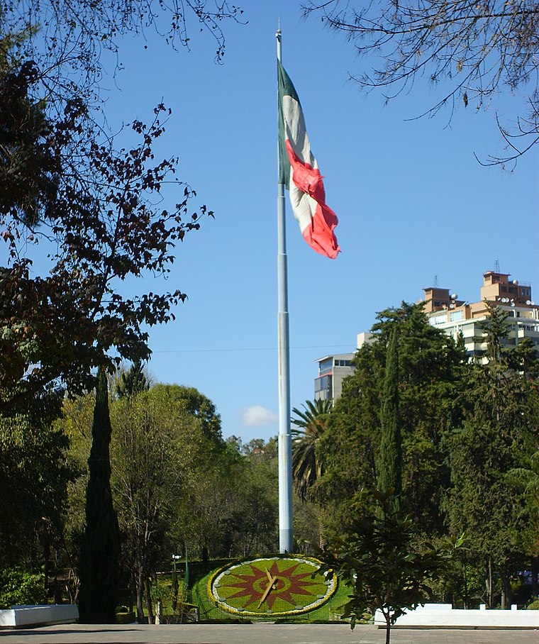
Photo: Wikimedia, CC BY-SA 3.0.
Parque Hundido is an urban park located in Benito Juárez, Mexico City.
Places in the Area
Nearby places include San Lorenzo Xochimanca and Mixcoac.
San Lorenzo Xochimanca
Quarter

Photo: StellarD, CC BY-SA 4.0.
San Lorenzo Xochimanca was a pre-Hispanic village and hacienda located in what is now the Colonia del Valle area of Mexico City.
Mixcoac
Quarter

Photo: Henryficar, CC BY-SA 3.0.
Mixcoac is an area of southern Mexico City which used to be a separate town and municipality within the Mexican Federal District until it was made part of Mexico City proper in 1928.
Xoco
Quarter
Xoco is a neighborhood of Mexico City in Benito Juárez borough. Xoco was originally a village dating to before the Spanish conquest. Now it is an important commercial hot spot that lies just across the northern edge of Coyoacán.
L12 - Insurgentes Sur
- Type: Canopy
- Category: building
- Location: Benito Juárez Borough, Mexico City, Central Mexico, Mexico, North America
- View on OpenStreetMap
Latitude
19.37353° or 19° 22′ 25″ northLongitude
-99.17869° or 99° 10′ 43″ westOperator
Sistema de Transporte ColectivoOpen location code
76F29RFC+CGOpenStreetMap ID
way 527672029OpenStreetMap feature
building=roof
This page is based on OpenStreetMap, Wikidata, and Wikimedia Commons.
We’d love your help improving our open data sources. Thank you for contributing.
Satellite Map
Discover L12 - Insurgentes Sur from above in high-definition satellite imagery.
Places with the Same Name
Discover other places named “L12 - Insurgentes Sur”.
Notable Places Nearby
Highlights include Smart Fit and Casino Life.
Nearby Places
Explore places such as Insurgentes Sur and Insurgentes Sur.
Mexico City: Must-Visit Destinations
Delve into Centro, Xochimilco, Coyoacán, and Condesa and Roma.
Curious Places to Discover
Uncover intriguing places from every corner of the globe.
About Mapcarta. Data © OpenStreetMap contributors and available under the Open Database License". Text is available under the CC BY-SA 4.0 license, except for photos, directions, and the map. Photo: Wikimedia, CC BY 2.0.