Oosterbrug
Oosterbrug is a bridge in Leeuwarden, Friesland. Oosterbrug is situated nearby to the art gallery Muurtooi, as well as near the church Evangelisch-Lutherse kerk, Leeuwarden.| Tap on a place to explore it |
Photo: Jeanhousen, CC BY-SA 4.0.
Places of Interest Nearby
Highlights include Evangelisch-Lutherse kerk, Leeuwarden and Nieuw-Apostolische Kerk.
Evangelisch-Lutherse kerk, Leeuwarden
Church

Photo: Wikimedia, CC BY-SA 4.0.
Evangelisch-Lutherse kerk, Leeuwarden is a church.
Nieuw-Apostolische Kerk
Church

Photo: RomkeHoekstra, CC BY-SA 4.0.
Nieuw-Apostolische Kerk is a church, which is situated 120 metres southeast of Oosterbrug.
Provinsjehûs
Public building

Photo: Jan Bulthuis, Public domain.
Provinsjehûs is a public building, which is situated 220 metres west of Oosterbrug.
Places in the Area
Nearby places include Snakkerburen and Lekkum.
Snakkerburen
Village

Photo: Jan dijkstra, CC BY-SA 4.0.
Snakkerburen is a village in Leeuwarden municipality in the province of Friesland, the Netherlands. It had a population of around 225 in January 2017.
Lekkum
Village
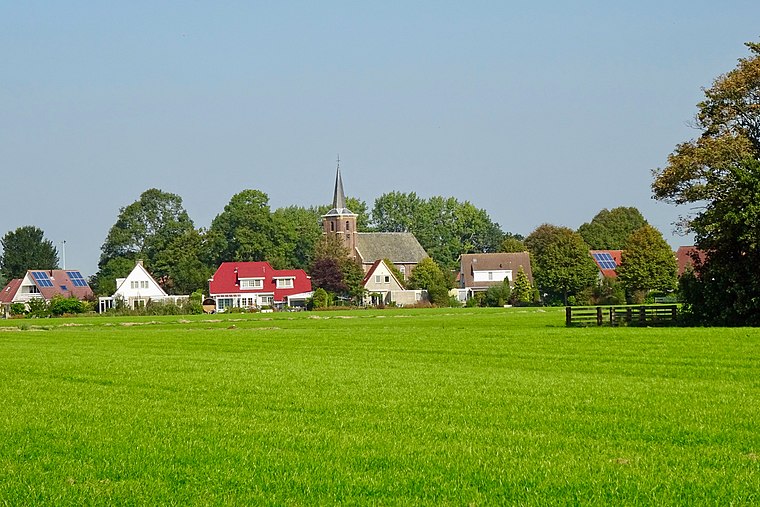
Photo: Gouwenaar, CC BY-SA 4.0.
Lekkum is a village in Leeuwarden municipality in the Friesland province of the Netherlands. It had a population of around 405 in January 2017. De Bullemolen in Lekkum marks the finishing point of the Elfstedentocht. Lekkum is situated 3 km north of Oosterbrug.
Hempens
Village

Photo: Bouwe Brouwer, CC BY-SA 3.0.
Hempens is a village in Leeuwarden municipality in the province of Friesland, the Netherlands. It was first mentioned in 1463 as Hempens, and means "settlement of the people of Hempe ". Hempens is situated 3½ km southeast of Oosterbrug.
Oosterbrug
- Type: Bridge
- Description: bridge in Leeuwarden, Netherlands
- Category: transportation
- Location: Leeuwarden, Friesland, Northern Netherlands, Netherlands, Benelux, Europe
- View on OpenStreetMap
Latitude
53.20067° or 53° 12′ 2″ northLongitude
5.80277° or 5° 48′ 10″ eastInception
1925Open location code
9F576R23+74OpenStreetMap ID
way 527909076OpenStreetMap feature
man_made=bridgeWikidata ID
Q17329494
This page is based on OpenStreetMap, Wikidata, and Wikimedia Commons.
We’d love your help improving our open data sources. Thank you for contributing.
Satellite Map
Discover Oosterbrug from above in high-definition satellite imagery.
In Other Languages
From Dutch to Western Frisian—“Oosterbrug” goes by many names.
- Dutch: “Oosterbrug”
- Dutch: “rijksmonumentnummer 516447”
- Western Frisian: “Easterbrêge (Ljouwert)”
- Western Frisian: “Easterbrêge”
Places with the Same Name
Discover other places named “Oosterbrug”.
Notable Places Nearby
Highlights include Muurtooi and Sportcentrum de Leeuw.
Nearby Places
Explore places such as Nieuwe Oosterstraat and Het Eringa Geluid.
Friesland: Must-Visit Destinations
Delve into Heerenveen, Sneek, Harlingen, and De Fryske Marren.
Curious Bridges to Discover
Uncover intriguing bridges from every corner of the globe.
About Mapcarta. Data © OpenStreetMap contributors and available under the Open Database License". Text is available under the CC BY-SA 4.0 license, except for photos, directions, and the map. Photo: Jeanhousen, CC BY-SA 4.0.