Slúske Falomster Feart
Slúske Falomster Feart is a lock in Friesland, Northern Netherlands. Slúske Falomster Feart is situated nearby to the church Doopsgezinde gemeente, as well as near the playground De Hege Seis.| Tap on a place to explore it |
Places of Interest Nearby
Highlights include De Westereen railway station and Skierstins.
De Westereen railway station
Railway station

Photo: RomkeHoekstra, CC BY-SA 4.0.
De Westereen is a railway station located in De Westereen, Netherlands. The station was opened on 1 October 1885 and is located on the Harlingen–Nieuweschans railway between Leeuwarden and Groningen. De Westereen railway station is situated 2 km south of Slúske Falomster Feart.
Skierstins
Castle

Photo: Gouwenaar, Public domain.
The Skierstins is a medieval Stienhús built c. 1300 out of brick in Feanwâlden. It is the only remaining Stienhús in Friesland and is listed as Rijksmonument, number 11700 and is rated with a very high historical value. Skierstins is situated 3½ km southwest of Slúske Falomster Feart.
Tjasker Feanwâlden
Windmill

Photo: Wikimedia, CC BY-SA 3.0.
Tjasker Feanwâlden is a windmill, which is situated 2 km southwest of Slúske Falomster Feart.
Places in the Area
Nearby places include De Westereen and De Falom.
De Westereen
Village

Photo: Baykedevries, CC BY-SA 4.0.
De Westereen is a village in the Dantumadiel municipality of Friesland, the Netherlands. It had a population of around 5,000 in 2017.
De Falom
Village

Photo: Gouwenaar, Public domain.
De Falom is a village in the Dantumadiel municipality of Friesland, the Netherlands. It had a population of 235 in 2017.
Broeksterwâld
Village
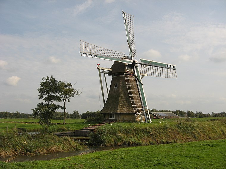
Photo: Reboelje, Public domain.
Broeksterwâld is a village in the Dantumadiel municipality of Friesland, in the Netherlands. In 2017, it had a population of around 1,100. Broeksterwâld is situated 2½ km northwest of Slúske Falomster Feart.
Slúske Falomster Feart
- Type: Lock
- Category: body of water
- Location: Friesland, Northern Netherlands, Netherlands, Benelux, Europe
- View on OpenStreetMap
Latitude
53.26461° or 53° 15′ 53″ northLongitude
6.02811° or 6° 1′ 41″ eastOpen location code
9F58727H+R6OpenStreetMap ID
way 529483003OpenStreetMap feature
natural=waterOpenStreetMap feature
water=lock
This page is based on OpenStreetMap, Wikidata, and Wikimedia Commons.
We’d love your help improving our open data sources. Thank you for contributing.
Satellite Map
Discover Slúske Falomster Feart from above in high-definition satellite imagery.
Notable Places Nearby
Highlights include Doopsgezinde gemeente and De Hege Seis.
Nearby Places
Explore places such as Rustpunt de Zilveren Maan and Foarstrjitte West.
Friesland: Must-Visit Destinations
Delve into Leeuwarden, Heerenveen, Sneek, and Harlingen.
Curious Locks to Discover
Uncover intriguing locks from every corner of the globe.
About Mapcarta. Data © OpenStreetMap contributors and available under the Open Database License". Text is available under the CC BY-SA 4.0 license, except for photos, directions, and the map. Photo: WiDi, CC BY-SA 3.0.