L’Otambo
L’Otambo is a fell in Aller, Asturias. L’Otambo is situated nearby to the peak Penón de Pancorba, as well as near Picu El Castieḷḷu.| Tap on a place to explore it |
Places in the Area
Nearby places include Piornedo and Piedrafita de la Mediana.
Piornedo
Hamlet

Photo: David Perez, CC BY 3.0.
Piornedo is a hamlet, which is situated 4½ km southwest of L’Otambo.
Piedrafita de la Mediana
Hamlet

Photo: David Perez, CC BY 3.0.
Piedrafita de la Mediana is a hamlet, which is situated 4½ km southwest of L’Otambo.
Canseco
Hamlet
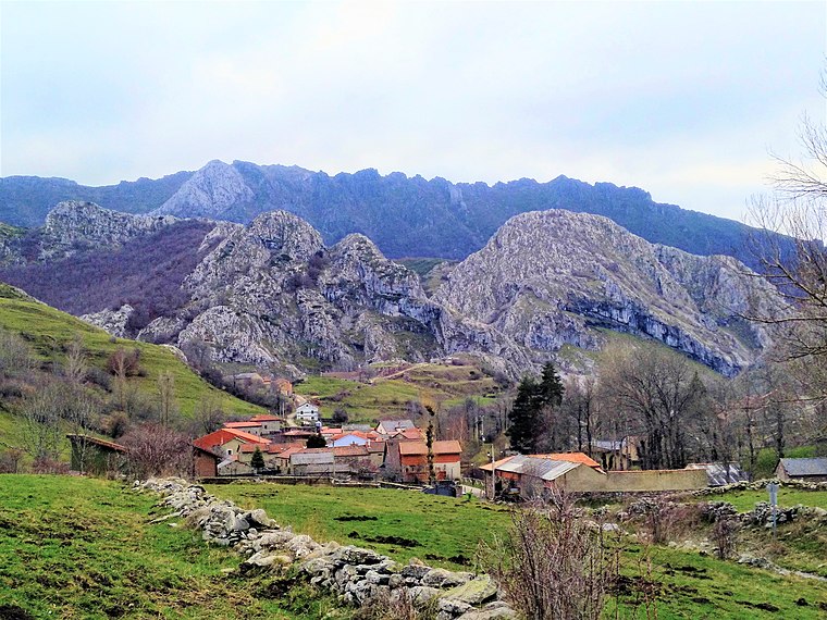
Photo: Todonegro, CC BY-SA 4.0.
Canseco is a hamlet, which is situated 5 km south of L’Otambo.
L’Otambo
- Type: Fell
- Category: meadow
- Location: Aller, Asturias, Green Spain, Spain, Iberia, Europe
- View on OpenStreetMap
Latitude
43.03452° or 43° 2′ 4″ northLongitude
-5.54814° or 5° 32′ 53″ westOpen location code
8CMP2FM2+RPOpenStreetMap ID
way 539844531OpenStreetMap feature
landuse=meadowOpenStreetMap feature
natural=fell
This page is based on OpenStreetMap, Wikidata, and Wikimedia Commons.
We’d love your help improving our open data sources. Thank you for contributing.
Satellite Map
Discover L’Otambo from above in high-definition satellite imagery.
Notable Places Nearby
Highlights include Penón de Pancorba and Picu El Castieḷḷu.
Nearby Places
Explore places such as Cuadras and Cuadras.
Asturias: Must-Visit Destinations
Delve into Oviedo, Gijón, Aviles, and Villaviciosa.
Curious Fells to Discover
Uncover intriguing fells from every corner of the globe.
About Mapcarta. Data © OpenStreetMap contributors and available under the Open Database License". Text is available under the CC BY-SA 4.0 license, except for photos, directions, and the map. Photo: MickStephenson, CC BY-SA 3.0.