St Aloysius’ College, Highgate
St Aloysius' College is a Roman Catholic, boys-only state school in the London Borough of Islington, England. Each year around 180 pupils are admitted to Year 7 on the basis of examination; the local education authority also assigns students without another school to this school.| Tap on a place to explore it |
Photo: Mx. Granger, CC0.
- Type: School
- Description: school in Islington, UK
- Also known as: “St Aloysius RC College” and “St. Aloysius College”
- Address: Hornsey Lane, London, N6 5LY
Places of Interest Nearby
Highlights include Whittington Hospital and St Andrew’s Whitehall Park.
Whittington Hospital
Hospital

Photo: Tony Peacock, CC BY-SA 2.0.
Whittington Hospital is a district general and teaching hospital of UCL Medical School and Middlesex University School of Health and Social Sciences. Located in Archway, London, it is managed by Whittington Health NHS Trust, operating as Whittington Health, an integrated care organisation providing hospital and community health services in the north London boroughs of Islington and Haringey. Whittington Hospital is situated 1,100 feet south of St Aloysius’ College, Highgate.
St Andrew’s Whitehall Park
Church

Photo: Stephen McKay, CC BY-SA 2.0.
St Andrew’s Whitehall Park is a church, which is situated 620 feet east of St Aloysius’ College, Highgate.
Lauderdale House

Photo: David Howard, CC BY 2.0.
Lauderdale House is an historic house, now run as an arts and education centre, based in Waterlow Park, Highgate in north London, England. Lauderdale House is situated 1,100 feet west of St Aloysius’ College, Highgate.
Places in the Area
Nearby places include Archway and Whittington Estate.
Archway
Suburb
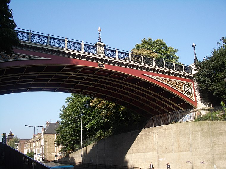
Photo: Wikimedia, CC BY-SA 2.0.
Archway is an area of north London, England, in the London Borough of Islington 3.8 miles north of Charing Cross. It straddles the A1 and is named after a former local landmark, the high, single-arched Archway Bridge which crossed the road to the north.
Whittington Estate
Neighborhood
The Whittington Estate, also known as Highgate New Town, is a housing estate in the London Borough of Camden, North London, England. It was designed in a modernist style by Peter Tábori and Ken Adie for Camden Council's Architects Department.
Highgate
Suburb

Photo: Charlesdrakew, Public domain.
Highgate is a suburban area of north London in the London Boroughs of Camden, Islington and Haringey. The area is at the north-eastern corner of Hampstead Heath, 4.5 miles north-northwest of Charing Cross.
St Aloysius’ College, Highgate
- Categories: secondary school, Catholic school, voluntary aided school, boys‘ school, and education
- Location: Islington, Greater London, England, United Kingdom, Britain and Ireland, Europe
- View on OpenStreetMap
Latitude
51.56965° or 51° 34′ 11″ northLongitude
-0.1384° or 0° 8′ 18″ westOpen location code
9C3XHV96+VJOpenStreetMap ID
way 540658528OpenStreetMap feature
amenity=schoolWikidata ID
Q7592308
This page is based on OpenStreetMap, Wikidata, Wikimedia Commons, and Wikipedia.
We’d love your help improving our open data sources. Thank you for contributing.
Satellite Map
Discover St Aloysius’ College, Highgate from above in high-definition satellite imagery.
In Other Languages
From Catalan to Urdu—“St Aloysius’ College, Highgate” goes by many names.
- Catalan: “St Aloysius‘ College”
- Chinese: “聖阿洛伊修斯學院”
- French: “St Aloysius College”
- Galician: “St Aloysius RC College”
- Iloko: “St Aloysius College, Highgate”
- Norwegian Bokmål: “St Aloysius College, Highgate”
- Swedish: “St Aloysius College”
- Urdu: “سینٹ ایلوسیس آر سی کالج”
Notable Places Nearby
Highlights include Hornsey Lane Reservoir and Garden fountain.
Nearby Places
Explore places such as Archway Bridge and Waterlow Road.
England: Must-Visit Destinations
Delve into London, Manchester, Sheffield, and Leeds.
Curious Places to Discover
Uncover intriguing places from every corner of the globe.
About Mapcarta. Data © OpenStreetMap contributors and available under the Open Database License". Text is available under the CC BY-SA 4.0 license, except for photos, directions, and the map. Description text is based on the Wikipedia page “St Aloysius’ College, Highgate”. Photo: Mx. Granger, CC0.