Moon Valley Nursery
Moon Valley Nursery is a plant nursery in Orange County, Southern California, California which is located on Alton Parkway. Moon Valley Nursery is situated nearby to Dovecreek Park, as well as near Ravencreek Park.| Tap on a place to explore it |
Places of Interest Nearby
Highlights include University High School.
University High School
School

Photo: Kzollman, CC BY-SA 3.0.
University High School is one of six public high schools serving grades 9-12 in the city of Irvine, California, United States. It was established in 1970 and is situated on 55 acres of land in the southwestern portion of the city, adjacent to the University of California, Irvine. University High School is situated 2½ miles west of Moon Valley Nursery.
Places in the Area
Nearby places include Quail Hill and Woodbridge.
Quail Hill
Suburb
Quail Hill is a village in the southern part of Irvine, Orange County, California. It is one of the seven communities that belong to the University area of the City of Irvine.
Woodbridge
Suburb

Photo: David Eppstein, CC BY-SA 2.5.
Woodbridge is a large suburban housing development, begun in 1975 by the Irvine Company, in the central region of Irvine, California. It covers 2.65 square miles and has two large artificial lakes at its center.
Turtle Rock
Suburb
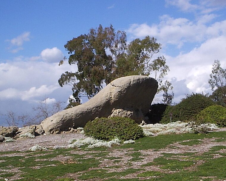
Photo: Jerry picker, CC BY-SA 3.0.
Turtle Rock is a neighborhood in the south part of Irvine, Orange County, California, near Concordia University, Irvine and the University of California, Irvine. Turtle Rock is situated 2 miles southwest of Moon Valley Nursery.
Moon Valley Nursery
- Type: Plant nursery
- Address: 6500 Alton Parkway, Irvine, CA 92618
- Category: agriculture
- Location: Orange County, Southern California, California, United States, North America
- View on OpenStreetMap
Latitude
33.66159° or 33° 39′ 42″ northLongitude
-117.78404° or 117° 47′ 3″ westOpen location code
8554M668+J9OpenStreetMap ID
way 543774237OpenStreetMap feature
landuse=plant_nursery
This page is based on OpenStreetMap, Wikidata, and Wikimedia Commons.
We’d love your help improving our open data sources. Thank you for contributing.
Satellite Map
Discover Moon Valley Nursery from above in high-definition satellite imagery.
Notable Places Nearby
Highlights include Dovecreek Park and Ravencreek Park.
Nearby Places
Explore places such as Picnic Pavilion and Oak Creek Elementary School.
Orange County: Must-Visit Destinations
Delve into Anaheim, Disneyland, Santa Ana, and Irvine.
Curious Plant Nurseries to Discover
Uncover intriguing plant nurseries from every corner of the globe.
About Mapcarta. Data © OpenStreetMap contributors and available under the Open Database License". Text is available under the CC BY-SA 4.0 license, except for photos, directions, and the map. Photo: Traveler100, CC BY-SA 3.0.