Ruined Farmhouse
Ruined Farmhouse is a ruins in Antrim and Newtownabbey, Northern Ireland. Ruined Farmhouse is situated nearby to the archaeological site Dunanney Rath, as well as near Carnmoney Cemetery East.| Tap on a place to explore it |
Places of Interest Nearby
Highlights include Church of Ireland and Belfast Zoo.
Church of Ireland
Church

Photo: JohnArmagh, CC BY-SA 4.0.
The Church of Ireland is a Christian church in Ireland, and an autonomous province of the Anglican Communion. It is organised on an all-Ireland basis and is the second-largest Christian church on the island after the Roman Catholic Church. Church of Ireland is situated 2,800 feet west of Ruined Farmhouse.
Belfast Zoo
Zoo

Photo: Quichot, Public domain.
Belfast Zoological Gardens is a zoo in Belfast, Northern Ireland. It is in a relatively secluded location on the northeastern slope of Cavehill, overlooking Belfast's Antrim Road. Belfast Zoo is situated 1¼ miles southwest of Ruined Farmhouse.
Whiteabbey Hospital
Hospital
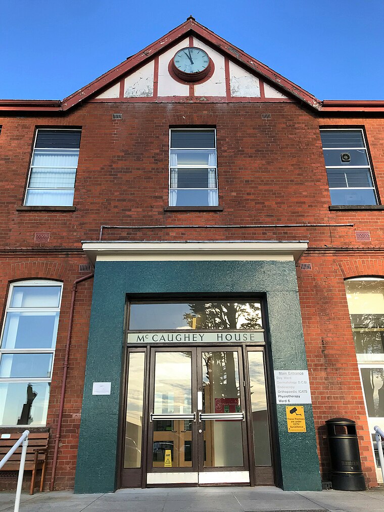
Photo: Mckyj, CC BY-SA 4.0.
Whiteabbey Hospital is a hospital located close to the village of Whiteabbey, within the town of Newtownabbey, Northern Ireland. The hospital first opened in 1907 as The Abbey Sanitorium, centred around a country house known as 'The Abbey'. Whiteabbey Hospital is situated 1 mile east of Ruined Farmhouse.
Places in the Area
Nearby places include Newtownabbey and Jordanstown.
Newtownabbey

Photo: Pastor Sam, CC BY 3.0.
Newtownabbey is a district just north of Belfast. It's short of tourist sights and facilities, and you'd only come here for business or to attend the university.
Jordanstown
Suburb
Photo: Albert Bridge, CC BY-SA 2.0.
Jordanstown is a townland and electoral ward in County Antrim, Northern Ireland. It is within the urban area of Newtownabbey and the Antrim and Newtownabbey Borough Council area. Jordanstown is situated 1½ miles northeast of Ruined Farmhouse.
Ballyrobert
Village
Ballyrobert is a small village in County Antrim, Northern Ireland. It is about 4 km south of Ballyclare and has developed around the junction of the Ballyrobert Road and the Mossley Road/The Longshot. Ballyrobert is situated 4½ miles northwest of Ruined Farmhouse.
Ruined Farmhouse
- Type: Ruins
- Categories: building and historic site
- Location: Antrim and Newtownabbey, Northern Ireland, United Kingdom, Britain and Ireland, Europe
- View on OpenStreetMap
Latitude
54.67239° or 54° 40′ 21″ northLongitude
-5.92934° or 5° 55′ 46″ westOpen location code
9C6PM3CC+X7OpenStreetMap ID
way 551291621OpenStreetMap feature
building=yesOpenStreetMap feature
historic=ruins
This page is based on OpenStreetMap, Wikidata, and Wikimedia Commons.
We’d love your help improving our open data sources. Thank you for contributing.
Satellite Map
Discover Ruined Farmhouse from above in high-definition satellite imagery.
Places with the Same Name
Discover other places named “Ruined Farmhouse”.
Notable Places Nearby
Highlights include Ruined Farmhouse and Dunanney Rath.
Nearby Places
Explore places such as Carnmoney hill nature reserve - south car park and Centra.
Northern Ireland: Must-Visit Destinations
Delve into Belfast, Derry, Giant’s Causeway, and Armagh.
Curious Ruins to Discover
Uncover intriguing ruins from every corner of the globe.
About Mapcarta. Data © OpenStreetMap contributors and available under the Open Database License". Text is available under the CC BY-SA 4.0 license, except for photos, directions, and the map. Photo: Chmee2, CC BY 3.0.