Ospedale Andrea Tortora
Ospedale Andrea Tortora is a hospital in Pagani, Salerno, Campania. Ospedale Andrea Tortora is situated nearby to the hospital Guardia Medica Pagani, as well as near the church Chiesa di Sant’Anna.| Tap on a place to explore it |
Places of Interest Nearby
Highlights include Pagani railway station and Shrine of Our Lady of the Hens.
Pagani railway station
Railway station
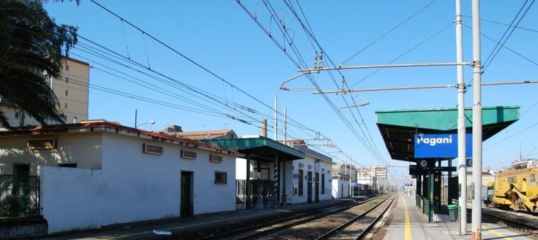
Photo: Pagawiki, Public domain.
Pagani railway station is situated 400 metres southwest of Ospedale Andrea Tortora.
Shrine of Our Lady of the Hens
Church

Photo: PaganiStoria, CC BY-SA 3.0.
The Shrine of Saint Mary the Crowned of Carmel, also called Shrine of Our Lady of the Hens, is a Roman Catholic Marian shrine located in Pagani, Campania, annually hosting the feast of Our Lady of the Hens. Shrine of Our Lady of the Hens is situated 1 km south of Ospedale Andrea Tortora.
Nocera Inferiore railway station
Railway station

Photo: Wikimedia, Public domain.
Nocera Inferiore railway station is situated 1¼ km east of Ospedale Andrea Tortora.
Places in the Area
Nearby places include Pagani and Pino Secco.
Pagani
Town

Photo: Pagawiki, Public domain.
Pagani is a town and comune in Campania, Italy, administratively part of the Province of Salerno, in the region known as the Agro nocerino-sarnese. Pagani has a population of 35,834, as of 2016.


Ospedale Andrea Tortora
- Type: Hospital
- Category: health care
- Location: Pagani, Salerno, Campania, Southern Italy, Italy, Europe
- View on OpenStreetMap
Latitude
40.74792° or 40° 44′ 53″ northLongitude
14.62138° or 14° 37′ 17″ eastOpen location code
8FGPPJXC+5HOpenStreetMap ID
way 554948351OpenStreetMap feature
amenity=hospitalOpenStreetMap feature
healthcare=hospital
This page is based on OpenStreetMap, Wikidata, and Wikimedia Commons.
We’d love your help improving our open data sources. Thank you for contributing.
Satellite Map
Discover Ospedale Andrea Tortora from above in high-definition satellite imagery.
Notable Places Nearby
Highlights include Guardia Medica Pagani and Chiesa di San Francesco di Paola.
Nearby Places
Explore places such as Ex Capannoni Seat and Q8.
Salerno: Must-Visit Destinations
Delve into Salerno, Amalfi, Cava de’ Tirreni, and Positano.
Curious Places to Discover
Uncover intriguing places from every corner of the globe.
About Mapcarta. Data © OpenStreetMap contributors and available under the Open Database License". Text is available under the CC BY-SA 4.0 license, except for photos, directions, and the map. Photo: Wikimedia, CC0.