Myreskoven
Myreskoven is a forest in Brønderslev Municipality, North Jutland. Myreskoven is situated nearby to the village Klokkerholm, as well as near the neighborhood Hellevad.| Tap on a place to explore it |
Places of Interest
Highlights include Hellevad Church and Ørum Church.


Places in the Area
Nearby places include Hjallerup and Klokkerholm.
Hjallerup

Photo: Hubertus, CC BY-SA 3.0.
Hjallerup is a small town in Northern Jutland, Denmark with a population of 4,509, located in Hjallerup parish. It is the second largest town in Brønderslev Municipality and belongs to the North Denmark Region.
Klokkerholm
Village
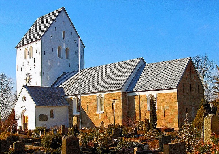
Photo: Bococo, CC BY-SA 3.0.
Klokkerholm is a village, with a population of 890, in Brønderslev Municipality, North Jutland Region in Denmark. It is located 6 km north of Hjallerup, 26 km northeast of Aalborg, 38 km southwest of Frederikshavn and 17 km east of Brønderslev.

Myreskoven
- Type: Forest
- Location: Brønderslev Municipality, North Jutland, Jutland, Denmark, Nordic countries, Europe
- View on OpenStreetMap
Latitude
57.205° or 57° 12′ 18″ northLongitude
10.157° or 10° 9′ 25″ eastOpen location code
9F9G6534+XROpenStreetMap ID
way 557090714OpenStreetMap feature
landuse=forest
This page is based on OpenStreetMap, Wikidata, and Wikimedia Commons.
We’d love your help improving our open data sources. Thank you for contributing.
Satellite Map
Discover Myreskoven from above in high-definition satellite imagery.
Localities in the Area
Explore places such as Hellevad and Milbak.
Notable Places Nearby
Highlights include Klokkerholm Hallen and Klokkerholm School.
North Jutland: Must-Visit Destinations
Delve into Aalborg, Frederikshavn, Skagen, and Hjørring.
Curious Forests to Discover
Uncover intriguing forests from every corner of the globe.
About Mapcarta. Data © OpenStreetMap contributors and available under the Open Database License". Text is available under the CC BY-SA 4.0 license, except for photos, directions, and the map. Photo: Slaunger, CC BY-SA 3.0.