Eddie’s Liquor
Eddie’s Liquor is a liquor store in Orange County, Southern California, California. Eddie’s Liquor is situated nearby to Bethel Lutheran Church, as well as near Hampton Community Park.| Tap on a place to explore it |
Places of Interest Nearby
Highlights include Cypress College and Orangeview Western 7-12 School.
Cypress College
College
Cypress College is a public community college in Cypress, California. It is part of the California Community Colleges System and belongs to the North Orange County Community College District. Cypress College is situated 2,200 feet southwest of Eddie’s Liquor.
Orangeview Western 7-12 School
School

Photo: Dkornuta, CC BY-SA 3.0.
Orangeview Western 7-12 School, formerly known as Western High School and Orangeview Junior High School is a public school located in Anaheim, California, serving students in grades 7–12. Orangeview Western 7-12 School is situated 1 mile southeast of Eddie’s Liquor.
Cypress High School
School
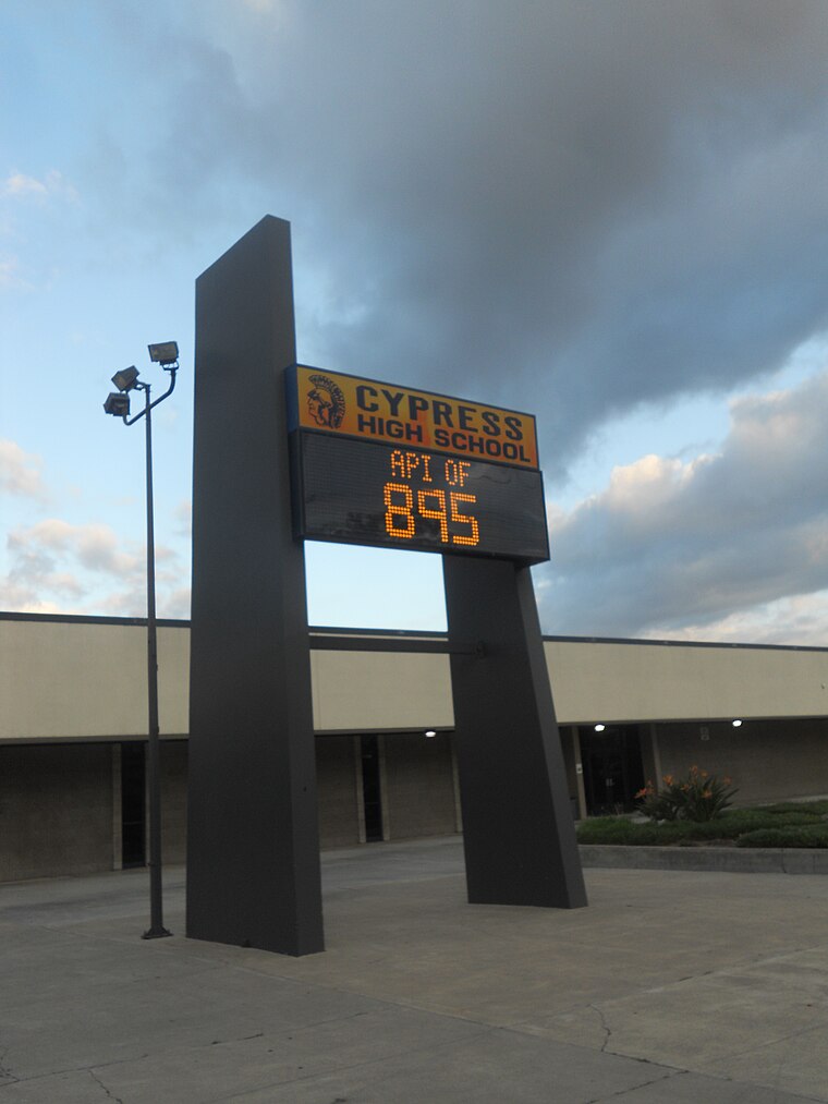
Photo: F-Lambda, CC BY-SA 3.0.
Cypress High School is a public high school in the city of Cypress, California. It was founded in 1973 and serves grades 9 through 12. Cypress is one of eight high schools in the Anaheim Union High School District. Cypress High School is situated 1 mile southwest of Eddie’s Liquor.
Places in the Area
Nearby places include Cypress and La Palma.
Cypress

Photo: Traveler100, CC BY-SA 4.0.
Cypress is a city in northwestern Orange County, California. Its population was 50,151 as of the 2020 census.
La Palma
Town

Photo: Wikimedia, CC BY-SA 2.0.
La Palma is a city in Orange County, California, United States. The population was 15,581 at the 2020 census, up from 15,568 at the 2010 census. La Palma is situated 2 miles northwest of Eddie’s Liquor.
Stanton

Photo: JWarren117, CC BY-SA 4.0.
Stanton is a city in Orange County in Southern California. While it is not at all a very important city, it is a terminus for visitors wanting to travel from Knott's Berry Farm to Disneyland or vice versa.
Eddie’s Liquor
- Type: Liquor store
- Categories: building and shop
- Location: Orange County, Southern California, California, United States, North America
- View on OpenStreetMap
Latitude
33.83228° or 33° 49′ 56″ northLongitude
-118.01935° or 118° 1′ 10″ westOpen location code
8553RXJJ+W7OpenStreetMap ID
way 573887526OpenStreetMap feature
building=yesOpenStreetMap feature
shop=alcohol
This page is based on OpenStreetMap, Wikidata, and Wikimedia Commons.
We’d love your help improving our open data sources. Thank you for contributing.
Satellite Map
Discover Eddie’s Liquor from above in high-definition satellite imagery.
Places with the Same Name
Discover other places named “Eddie’s Liquor”.
Notable Places Nearby
Highlights include Bethel Lutheran Church and Hampton Community Park.
Nearby Places
Explore places such as Lincoln-Holder and College Park Pool.
Orange County: Must-Visit Destinations
Delve into Disneyland, Anaheim, Santa Ana, and Irvine.
Curious Liquor Stores to Discover
Uncover intriguing liquor stores from every corner of the globe.
About Mapcarta. Data © OpenStreetMap contributors and available under the Open Database License". Text is available under the CC BY-SA 4.0 license, except for photos, directions, and the map. Photo: Traveler100, CC BY-SA 3.0.