CitySide
CitySide is a residential area in Leeds, England. CitySide is situated nearby to Leeds Beckett University, City Campus, as well as near the residential building Central Village Tower.| Tap on a place to explore it |
Places of Interest Nearby
Highlights include Leeds Civic Hall and Leeds Town Hall.
Leeds Civic Hall
Town hall

Photo: Jungpionier, CC BY-SA 3.0.
Leeds Civic Hall is a municipal building located in the civic quarter of Leeds, West Yorkshire, England. It replaced Leeds Town Hall as the administrative centre in 1933. Leeds Civic Hall is situated 480 feet southeast of CitySide.
Leeds Town Hall
Town hall

Photo: Andrew roberts uk, CC BY-SA 3.0.
Leeds Town Hall is a 19th-century municipal building on The Headrow, Leeds, West Yorkshire, England. Planned to include law courts, a council chamber, offices, a public hall, and a suite of ceremonial rooms, it was built between 1853 and 1858 to a design by the architect Cuthbert Brodrick. Leeds Town Hall is situated 1,100 feet south of CitySide.
Leeds City Museum
Museum

Photo: Andrew roberts uk, CC BY-SA 3.0.
Leeds City Museum, established in 1819, is a museum in Leeds, West Yorkshire, England. Since 2008 it has been housed in the former Mechanics' Institute built by Cuthbert Brodrick, in Cookridge Street. Leeds City Museum is situated 900 feet southeast of CitySide.
Places in the Area
Nearby places include Arena Quarter and Woodhouse.
Arena Quarter
Quarter

Photo: Mtaylor848, CC BY-SA 3.0.
Arena Quarter is a mixed city centre development with residential, retail and office developments in Leeds, West Yorkshire, England. It is located in Leeds city centre and the area is best known for housing Leeds Arena.
Woodhouse
Suburb
 Woodhouse is a largely residential area just north of the city centre of Leeds and close to the University of Leeds. The area considered as Woodhouse is partly in the Little London and Woodhouse ward and partly in the Headingley & Hyde Park ward of City of Leeds metropolitan district.
Lovell Park
Suburb
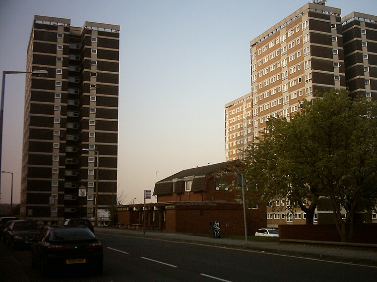
Photo: Mtaylor848, CC BY-SA 3.0.
Lovell Park is an inner-city area of Leeds, West Yorkshire, England. The area falls within the Little London and Woodhouse ward on Leeds City Council. Lovell Park along with its adjacent areas Little London and Blenheim, is an area of 1960s high-rise and maisonette council housing situated between the city centre and Sheepscar.
CitySide
- Type: Residential area
- Location: Leeds, England, United Kingdom, Britain and Ireland, Europe
- View on OpenStreetMap
Latitude
53.80342° or 53° 48′ 12″ northLongitude
-1.54969° or 1° 32′ 59″ westOpen location code
9C5WRF32+94OpenStreetMap ID
way 574200490OpenStreetMap feature
landuse=residential
This page is based on OpenStreetMap, Wikidata, and Wikimedia Commons.
We’d love your help improving our open data sources. Thank you for contributing.
Satellite Map
Discover CitySide from above in high-definition satellite imagery.
Places with the Same Name
Discover other places named “CitySide”.
Notable Places Nearby
Highlights include Leeds Beckett University, City Campus and Central Village Tower.
Nearby Places
Explore places such as CitySide Block B and CitySide Block A.
England: Must-Visit Destinations
Delve into London, Manchester, Sheffield, and Leeds.
Curious Residential Areas to Discover
Uncover intriguing residential areas from every corner of the globe.
About Mapcarta. Data © OpenStreetMap contributors and available under the Open Database License". Text is available under the CC BY-SA 4.0 license, except for photos, directions, and the map. Photo: sidibousaid, CC BY 2.0.