Chiesa parrocchiale san Giovanni Battista
Chiesa parrocchiale san Giovanni Battista is a church in Torrebelvicino, Vicenza, Veneto. Chiesa parrocchiale san Giovanni Battista is situated nearby to the village Enna Vicentina, as well as near the scenic viewpoint Croce ‘C.de Maso-Sberze’.| Tap on a place to explore it |
Places of Interest Nearby
Highlights include Monte Novegno and Forte Rione.
Monte Novegno
Peak

Photo: Vajo, Public domain.
Monte Novegno is a mountain of the Veneto, Italy. It has an elevation of 1552 metres. Monte Novegno is situated 4 km northeast of Chiesa parrocchiale san Giovanni Battista.
Forte Rione
Mountain hut

Photo: DeniseP, CC BY-SA 4.0.
Forte Rione is a mountain hut, which is situated 4 km north of Chiesa parrocchiale san Giovanni Battista.
Places in the Area
Nearby places include Enna Vicentina and Staro.

Staro
Village

Photo: 4ndr33 90, CC BY-SA 3.0.
Staro is a village, which is situated 5 km west of Chiesa parrocchiale san Giovanni Battista.
Tretto
Suburb
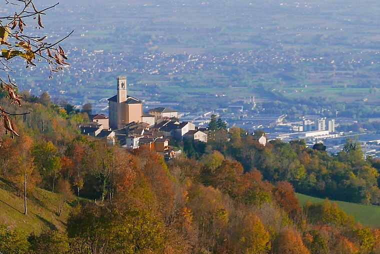
Photo: Claudio Gioseffi, CC BY-SA 4.0.
Tretto is a suburb, which is situated 5 km east of Chiesa parrocchiale san Giovanni Battista.
Chiesa parrocchiale san Giovanni Battista
- Type: Church
- Denomination: Catholic
- Categories: building, place of worship, and religion
- Location: Torrebelvicino, Vicenza, Veneto, Northeast Italy, Italy, Europe
- View on OpenStreetMap
Latitude
45.737° or 45° 44′ 13″ northLongitude
11.28267° or 11° 16′ 58″ eastOpen location code
8FQHP7PM+Q3OpenStreetMap ID
way 58555721OpenStreetMap feature
amenity=place_of_worshipOpenStreetMap feature
building=yesOpenStreetMap attribute
denomination=catholic
This page is based on OpenStreetMap, Wikidata, and Wikimedia Commons.
We’d love your help improving our open data sources. Thank you for contributing.
Satellite Map
Discover Chiesa parrocchiale san Giovanni Battista from above in high-definition satellite imagery.
Places with the Same Name
Discover other places named “Chiesa parrocchiale san Giovanni Battista”.
Notable Places Nearby
Highlights include Cemetery of Enna Vicentina and Croce ‘C.de Maso-Sberze’.
Nearby Places
Explore places such as San Gaetano and Bar trattoria Ai Combattenti.
Curious Churches to Discover
Uncover intriguing churches from every corner of the globe.
About Mapcarta. Data © OpenStreetMap contributors and available under the Open Database License". Text is available under the CC BY-SA 4.0 license, except for photos, directions, and the map. Photo: Wikimedia, CC0.