Centro de Atletismo Professor Oswaldo Terra
Centro de Atletismo Professor Oswaldo Terra is a stadium in São Bernardo do Campo, Grande São Paulo, São Paulo which is located on Rua Tiradentes. Centro de Atletismo Professor Oswaldo Terra is situated nearby to Centro de Formação e Treinamento de Xadrez e Damas, as well as near Centro de Formação de Capoeira e Lutas.| Tap on a place to explore it |
Places of Interest Nearby
Highlights include Estádio 1º de Maio.
Estádio 1º de Maio
Stadium

Photo: Horcoff, CC BY-SA 4.0.
Estádio 1.º de Maio is a football stadium in the centre of São Bernardo do Campo, Brazil, which is the home of São Bernardo. With a capacity of 15,159 it is the second-largest football stadium in the ABC region, behind Estádio Anacleto Campanella. Estádio 1º de Maio is situated 4 km northwest of Centro de Atletismo Professor Oswaldo Terra.
Places in the Area
Nearby places include Jardim Ipanema and Recreio da Borda do Campo.
Jardim Ipanema
Suburb
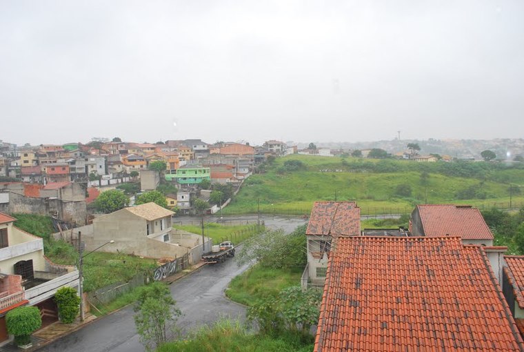
Photo: Manoel Messias de So…, CC BY-SA 3.0.
Jardim Ipanema is a suburb, which is situated 5 km northeast of Centro de Atletismo Professor Oswaldo Terra.
Recreio da Borda do Campo
Suburb

Photo: BêS, CC BY-SA 3.0.
Recreio da Borda do Campo is a suburb, which is situated 5 km east of Centro de Atletismo Professor Oswaldo Terra.
Paraíso
Suburb

Photo: Francesco Rey, CC BY-SA 4.0.
Paraíso is a suburb, which is situated 6 km north of Centro de Atletismo Professor Oswaldo Terra.
Centro de Atletismo Professor Oswaldo Terra
- Type: Stadium
- Address: 1845 Rua Tiradentes, Ferrazópolis, São Bernardo do Campo
- Categories: athletics, recreation area, sports location, tourist attraction, and tourism
- Location: São Bernardo do Campo, Grande São Paulo, São Paulo, Southeast, Brazil, South America
- View on OpenStreetMap
Latitude
-23.72625° or 23° 43′ 35″ southLongitude
-46.53165° or 46° 31′ 54″ westOpen location code
588M7FF9+G8OpenStreetMap ID
way 591258344OpenStreetMap feature
leisure=stadiumOpenStreetMap feature
sport=athletics
This page is based on OpenStreetMap, Wikidata, and Wikimedia Commons.
We’d love your help improving our open data sources. Thank you for contributing.
Satellite Map
Discover Centro de Atletismo Professor Oswaldo Terra from above in high-definition satellite imagery.
Notable Places Nearby
Highlights include Centro de Formação e Treinamento de Xadrez e Damas and Centro de Formação de Capoeira e Lutas.
Nearby Places
Explore places such as Unidade Básica de Saúde da Vila São Pedro II and Condominio Espanha II.
Grande São Paulo: Must-Visit Destinations
Delve into São Paulo, Osasco, Paulista, and Downtown São Paulo.
Curious Stadiums to Discover
Uncover intriguing stadiums from every corner of the globe.
About Mapcarta. Data © OpenStreetMap contributors and available under the Open Database License". Text is available under the CC BY-SA 4.0 license, except for photos, directions, and the map. Photo: Wikimedia, CC BY-SA 3.0.