Weinbergschutzhütte
Weinbergschutzhütte is a shelter in Cochem-Zell, Rhineland-Palatinate. Weinbergschutzhütte is situated nearby to the church Klosterkirche Maria Himmelfahrt, as well as near the monastery Kloster Ebernach.| Tap on a place to explore it |
Places of Interest Nearby
Highlights include Kloster Ebernach and Bundesbank bunker.
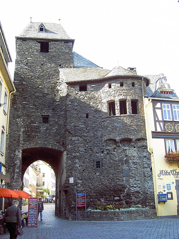
Kloster Ebernach
Monastery

Photo: BBKurt, CC BY-SA 3.0.
Kloster Ebernach is a monastery, which is situated 480 metres south of Weinbergschutzhütte.
Bundesbank bunker
Museum

Photo: Schaengel, CC BY-SA 3.0 de.
The Bundesbank bunker was the German central bank's bunker in Cochem for the preservation of an emergency currency. From 1964 to 1988, the Deutsche Bundesbank stored up to 15 billion marks in the top-secret facility, to protect West Germany from a national economic crisis in the event of potential hyperinflation that might be caused by the Cold War. Bundesbank bunker is situated 1½ km northwest of Weinbergschutzhütte.
Places in the Area
Nearby places include Sehl and Valwig.

Valwig
Village

Photo: Ikar.us, CC BY 3.0 de.
Valwig is an Ortsgemeinde – a municipality belonging to a Verbandsgemeinde, a kind of collective municipality – in the Cochem-Zell district in Rhineland-Palatinate, Germany.

Weinbergschutzhütte
- Type: Shelter
- Wheelchair access: limited
- Category: building
- Location: Cochem-Zell, Rhineland-Palatinate, Germany, Central Europe, Europe
- View on OpenStreetMap
Latitude
50.1426° or 50° 8′ 33″ northLongitude
7.18886° or 7° 11′ 20″ eastInception
1999Open location code
9F2945VQ+2GOpenStreetMap ID
way 593889724OpenStreetMap feature
amenity=shelterOpenStreetMap feature
building=yesOpenStreetMap attribute
wheelchair=limited
This page is based on OpenStreetMap, Wikidata, and Wikimedia Commons.
We’d love your help improving our open data sources. Thank you for contributing.
Satellite Map
Discover Weinbergschutzhütte from above in high-definition satellite imagery.
Notable Places Nearby
Highlights include Klosterkirche Maria Himmelfahrt and Kegelbahn.
Nearby Places
Explore places such as Cochem, Kloster Ebernach and Cochem, Kloster Ebernach.
Rhineland-Palatinate: Must-Visit Destinations
Delve into Mainz, Trier, Koblenz, and Worms.
Curious Shelters to Discover
Uncover intriguing shelters from every corner of the globe.
About Mapcarta. Data © OpenStreetMap contributors and available under the Open Database License". Text is available under the CC BY-SA 4.0 license, except for photos, directions, and the map. Photo: Traveler100, CC BY-SA 3.0.