Holt Park
Holt Park is a playground in Burgess Hill, Mid Sussex District, England. Holt Park is situated nearby to the playground Burners Close Play Area, as well as near the community center Kings Mead Community Centre.| Tap on a place to explore it |
Places of Interest Nearby
Highlights include Burgess Hill railway station and All Saints United Reformed Church.
Burgess Hill railway station
Railway station

Photo: Hassocks5489, Public domain.
Burgess Hill railway station is on the Brighton Main Line, serving the town of Burgess Hill, West Sussex. It is 41 miles 39 chains down the line from London Bridge via Redhill and is situated between Wivelsfield and Hassocks on the main line. Burgess Hill railway station is situated 2,600 feet west of Holt Park.
All Saints United Reformed Church
Church

Photo: The Voice of Hassocks, Public domain.
All Saints Church is the United Reformed Church in Burgess Hill. Originally a Congregational church, it replaced Burgess Hill's first Congregational chapel in Grove Road. All Saints United Reformed Church is situated 2,100 feet northwest of Holt Park.
Wivelsfield railway station
Railway station

Photo: Hassocks5489, Public domain.
Wivelsfield railway station is a railway station on the Brighton Main Line in West Sussex, England. Located in northern Burgess Hill, it primarily serves the town's neighbourhoods of World's End and Sheddingdean. Wivelsfield railway station is situated 1 mile north of Holt Park.
Places in the Area
Nearby places include Abbotsford and Ditchling.
Abbotsford
Hamlet
Abbotsford is a settlement in West Sussex, England. Although once of a distinct identity, the name is now rarely used to describe the area and it would more likely be described as the northern outskirts of Burgess Hill. Abbotsford is situated 2 miles northwest of Holt Park.
Ditchling
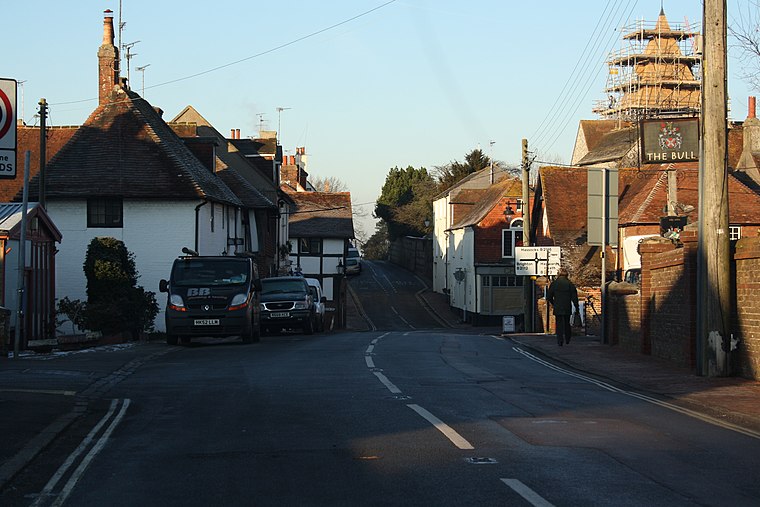
Photo: Paste, CC BY-SA 3.0.
Ditchling is a village and civil parish in the Lewes District of East Sussex, England. The village is contained within the boundaries of the South Downs National Park; the order confirming the establishment of the park was signed in Ditchling.
Keymer
Village

Photo: Paste, CC BY-SA 3.0.
Keymer is a village in the civil parish of Hassocks, in the Mid Sussex district of West Sussex, England. It lies on the B2116 road 2.4 miles south of Burgess Hill. Keymer is situated 2 miles south of Holt Park.
Holt Park
- Type: Playground
- Category: recreation area
- Location: Burgess Hill, Mid Sussex District, West Sussex, South East England, England, United Kingdom, Britain and Ireland, Europe
- View on OpenStreetMap
Latitude
50.95131° or 50° 57′ 5″ northLongitude
-0.11685° or 0° 7′ 1″ westOpen location code
9C2XXV2M+G7OpenStreetMap ID
way 600156961OpenStreetMap feature
leisure=playground
This page is based on OpenStreetMap, Wikidata, and Wikimedia Commons.
We’d love your help improving our open data sources. Thank you for contributing.
Satellite Map
Discover Holt Park from above in high-definition satellite imagery.
Places with the Same Name
Discover other places named “Holt Park”.
Notable Places Nearby
Highlights include Burners Close Play Area and Kings Mead Community Centre.
Nearby Places
Explore places such as Burdocks Drive and Woodlands Meed College.
West Sussex: Must-Visit Destinations
Delve into Chichester, Crawley, Worthing, and Horsham.
Curious Playgrounds to Discover
Uncover intriguing playgrounds from every corner of the globe.
About Mapcarta. Data © OpenStreetMap contributors and available under the Open Database License". Text is available under the CC BY-SA 4.0 license, except for photos, directions, and the map. Photo: Paste, Public domain.