Field of Os Pocket Park
Field of Os Pocket Park is a park in Manchester, England. Field of Os Pocket Park is situated nearby to Oswald Road Primary School, as well as near Chorlton Library.| Tap on a place to explore it |
Places of Interest Nearby
Highlights include Chorlton Library and Unicorn Grocery.
Chorlton Library
Library

Photo: Paul Ashwin, CC BY-SA 2.0.
Chorlton Library is situated 500 feet south of Field of Os Pocket Park.
Unicorn Grocery
Supermarket

Photo: Peter McDermott, CC BY-SA 2.0.
Unicorn Grocery is a co-operative grocery store located in Chorlton-cum-Hardy, Manchester, England. As a workers co-op, it is controlled democratically by its members/owners, who run the business with a flat management structure and with an equal rate of pay. Unicorn Grocery is situated 560 feet northeast of Field of Os Pocket Park.
The Sedge Lynn
Pub

Photo: Wikimedia, CC BY-SA 2.0.
The Sedge Lynn is a pub, which is situated 640 feet south of Field of Os Pocket Park.
Places in the Area
Nearby places include Chorlton cum Hardy and Chorltonville.
Chorlton cum Hardy
Suburb
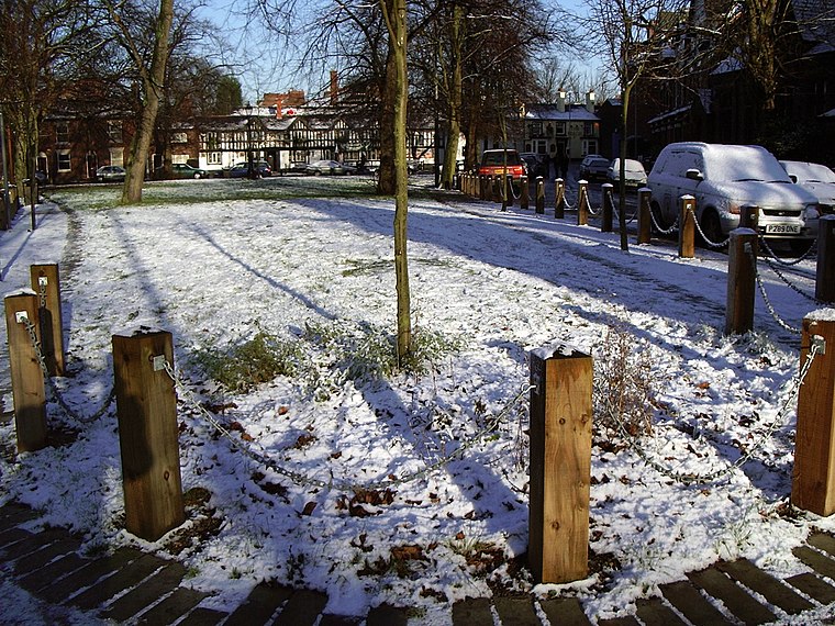
Photo: Phil Champion, CC BY-SA 2.0.
Chorlton-cum-Hardy is a suburban area of Manchester, England, three miles southwest of the city centre. Chorlton ward had a population of 14,138 at the 2011 census, and Chorlton Park 15,147.
Chorltonville
Neighborhood

Photo: Rahotepuk, CC BY-SA 4.0.
Chorltonville is a garden village in Chorlton-cum-Hardy, Manchester, England. The village includes architecture inspired by the Arts and Crafts movement.
Whalley Range
Suburb

Photo: R Greenhalgh, CC BY-SA 2.0.
Whalley Range is an area of Manchester, England, 2 miles south-west of the city centre. The population at the 2011 census was 15,430. Historically in Lancashire, it was one of the earliest of the city's suburbs, built by local businessman Samuel Brooks.
Field of Os Pocket Park
- Type: Park
- Category: recreation area
- Location: Manchester, England, United Kingdom, Britain and Ireland, Europe
- View on OpenStreetMap
Latitude
53.446° or 53° 26′ 46″ northLongitude
-2.27931° or 2° 16′ 46″ westOpen location code
9C5VCPWC+C7OpenStreetMap ID
way 60756826OpenStreetMap feature
leisure=park
This page is based on OpenStreetMap, Wikidata, and Wikimedia Commons.
We’d love your help improving our open data sources. Thank you for contributing.
Satellite Map
Discover Field of Os Pocket Park from above in high-definition satellite imagery.
Notable Places Nearby
Highlights include Oswald Road Primary School and Little Orange.
Nearby Places
Explore places such as Friendly Shopper and Barbakan Delicatessen.
Manchester: Must-Visit Destinations
Delve into Manchester Airport, Victoria-Shopping District, Piccadilly-East Centre, and Castlefield-Petersfield.
Curious Parks to Discover
Uncover intriguing parks from every corner of the globe.
About Mapcarta. Data © OpenStreetMap contributors and available under the Open Database License". Text is available under the CC BY-SA 4.0 license, except for photos, directions, and the map. Photo: David Dixon, CC BY-SA 2.0.