TierraY Libertad Kindergarden
TierraY Libertad Kindergarden is a school in Mexico State, Central Mexico which is located on Calle Pirules. TierraY Libertad Kindergarden is situated nearby to the bus station Base Coahuila - Pantitlan, as well as near Veintiuno de Marzo Marketplace.| Tap on a place to explore it |
- Type: School
- Also known as: “Jardin de niños Tierra Y Libertad”
- Address: Calle Pirules, Chimalhuacan
Places of Interest Nearby
Highlights include Los Reyes metro station and La Paz metro station.
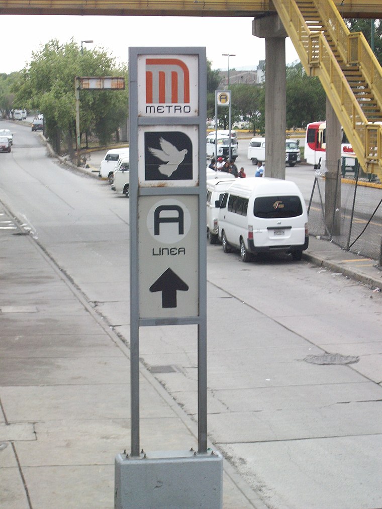
Los Reyes metro station
Metro station

Photo: Dge, CC BY-SA 3.0.
Los Reyes is a street-level station along Line A of the Mexico City Metro. It is located in the Colonia Los Reyes Acaquilpan neighborhood in La Paz municipio in the State of Mexico adjacent to Mexico City. Los Reyes metro station is situated 3 km southwest of TierraY Libertad Kindergarden.
La Paz metro station
Metro station
 La Paz is a Mexico City Metro station that serves Line A. It is the line's terminal station. It opened, along with the other stations along Line A, on 12 August 1991. La Paz metro station is situated 4 km south of TierraY Libertad Kindergarden.
Guerrero Chimalli
Work of art

Photo: EneasMx, CC BY-SA 4.0.
Guerrero Chimalli is an outdoor steel sculpture by Enrique "Sebastián" Carbajal, installed along Bordo de Xochiaca Avenue, in Chimalhuacán, State of Mexico. Guerrero Chimalli is situated 4 km northwest of TierraY Libertad Kindergarden.
Places in the Area
Nearby places include Los Reyes Acaquilpan and Santiago Acahualtepec.
Los Reyes Acaquilpan
Town

Photo: Ivan03, CC BY-SA 4.0.
Los Reyes Acaquilpan is a town, which is situated 3 km southwest of TierraY Libertad Kindergarden.
Santiago Acahualtepec
Town
Santiago Acahualtepec is one of the natives towns in Iztapalapa, located east of Mexico City. It currently borders the town of Santa Martha Acatitla; with the colonias 1st and 2nd Ampliación of Santiago Acahualtepec, Miguel de la Madrid, Ixtlahuacán, and Lomas de Zaragoza, which were part of the farming lands of the natives of the town of Santiago. Santiago Acahualtepec is situated 6 km southwest of TierraY Libertad Kindergarden.
Chicoloapan Municipality
Town

Photo: Correogsk, CC BY-SA 3.0.
Chicoloapan Municipality is a town, which is situated 7 km northeast of TierraY Libertad Kindergarden.
TierraY Libertad Kindergarden
- Category: education
- Location: Mexico State, Central Mexico, Mexico, North America
- View on OpenStreetMap
Latitude
19.38425° or 19° 23′ 3″ northLongitude
-98.96238° or 98° 57′ 45″ westLevels
1Open location code
76F392MQ+M2OpenStreetMap ID
way 608021197OpenStreetMap feature
amenity=school
This page is based on OpenStreetMap, Wikidata, and Wikimedia Commons.
We’d love your help improving our open data sources. Thank you for contributing.
Satellite Map
Discover TierraY Libertad Kindergarden from above in high-definition satellite imagery.
Notable Places Nearby
Highlights include Base Coahuila - Pantitlan and Veintiuno de Marzo Marketplace.
Nearby Places
Explore places such as Escuela Primaria Tierra Y Libertad and Tierra y Libertad Middle School.
Mexico State: Must-Visit Destinations
Delve into Tequixquiac, Toluca, Teotihuacan, and Ecatepec.
Curious Schools to Discover
Uncover intriguing schools from every corner of the globe.
About Mapcarta. Data © OpenStreetMap contributors and available under the Open Database License". Text is available under the CC BY-SA 4.0 license, except for photos, directions, and the map. Photo: Wikimedia, CC0.