Campo di Pallavolo
Campo di Pallavolo is a pitch in Ponte nelle Alpi, Belluno, Veneto. Campo di Pallavolo is situated nearby to the pitch Campo da basket, as well as near the community center Filò Sant’Andrea.| Tap on a place to explore it |
Places of Interest Nearby
Highlights include Ponte nelle Alpi-Polpet railway station and Belluno Airport.
Ponte nelle Alpi-Polpet railway station
Railway station

Photo: Pimvantend, CC BY-SA 3.0.
Ponte nelle Alpi-Polpet railway station is situated 270 metres west of Campo di Pallavolo.
Belluno Airport
Aerodrome
Belluno Airport is an airport located in Belluno, Italy. The airport is also known as Arturo Dell'Oro Airport. Belluno Airport is situated 3 km southwest of Campo di Pallavolo.
Soverzene hydroelectric power station
Power station
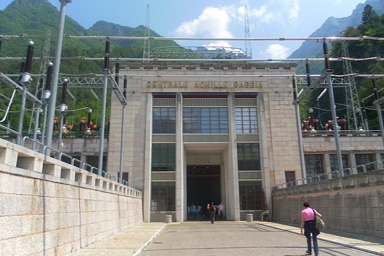
Photo: Andre86, Public domain.
Soverzene hydroelectric power station is situated 2½ km northeast of Campo di Pallavolo.
Places in the Area
Nearby places include Pedeserva and Cusighe.
Pedeserva
Hamlet

Photo: Kulmalukko, CC BY-SA 3.0.
Pedeserva is a hamlet, which is situated 5 km southwest of Campo di Pallavolo.
Cusighe
Neighborhood

Photo: Fistarolivan, CC BY-SA 4.0.
Cusighe is a neighborhood, which is situated 5 km southwest of Campo di Pallavolo.
Pieve d’Alpago
Village

Photo: AndreaFullinSalamon, CC BY-SA 4.0.
Alpago is a comune in the Province of Belluno in the Italian region of Veneto. It is located about 80 kilometres north of Venice and about 12 kilometres east of Belluno. Lago di Santa Croce is located near Alpago. Pieve d’Alpago is situated 6 km east of Campo di Pallavolo.
Campo di Pallavolo
- Type: Pitch
- Categories: volleyball, recreation area, and sports location
- Location: Ponte nelle Alpi, Belluno, Veneto, Northeast Italy, Italy, Europe
- View on OpenStreetMap
Latitude
46.18309° or 46° 10′ 59″ northLongitude
12.28085° or 12° 16′ 51″ eastOpen location code
8FRJ57MJ+68OpenStreetMap ID
way 610552283OpenStreetMap feature
leisure=pitchOpenStreetMap feature
sport=volleyball
This page is based on OpenStreetMap, Wikidata, and Wikimedia Commons.
We’d love your help improving our open data sources. Thank you for contributing.
Satellite Map
Discover Campo di Pallavolo from above in high-definition satellite imagery.
Places with the Same Name
Discover other places named “Campo di Pallavolo”.
Notable Places Nearby
Highlights include Campo da basket and Filò Sant’Andrea.
Nearby Places
Explore places such as Imbiancature D’Incà and Scuola dell’infanzia Don Fortunato Zalivani.
Belluno: Must-Visit Destinations
Delve into Cortina d’Ampezzo, Belluno, and Feltre.
Curious Pitches to Discover
Uncover intriguing pitches from every corner of the globe.
About Mapcarta. Data © OpenStreetMap contributors and available under the Open Database License". Text is available under the CC BY-SA 4.0 license, except for photos, directions, and the map. Photo: Lunardo, CC0.