Campo Sportivo ‘Gian Enrico Lugli’
Campo Sportivo ‘Gian Enrico Lugli’ is a pitch in Teolo, Padova, Veneto. Campo Sportivo ‘Gian Enrico Lugli’ is situated nearby to the sports venue Palazzetto dello sport, as well as near Centro Sportivo Euganeo.| Tap on a place to explore it |
Places of Interest Nearby
Highlights include Praglia Abbey and Villa dei Vescovi.
Praglia Abbey

Photo: Wolfgang glock, CC BY-SA 3.0.
Praglia Abbey is a Benedictine monastery in the frazione of Bresseo in Teolo, Province of Padua, Italy. It is located at the foot of the Euganean Hills, some 12 kilometers southwest of Padua, and four kilometers from Abano Terme. Praglia Abbey is situated 1¼ km southeast of Campo Sportivo ‘Gian Enrico Lugli’.
Villa dei Vescovi

Photo: Marcok, CC BY-SA 3.0.
The Villa dei Vescovi is a Renaissance-style, rural palatial home located in the neighborhood or frazione of Luvigliano, within the city limits of Torreglia, province of Padova, region of Veneto, Italy. Villa dei Vescovi is situated 3 km south of Campo Sportivo ‘Gian Enrico Lugli’.
Places in the Area
Nearby places include Montemerlo and Tramonte.


Abano Terme
Town
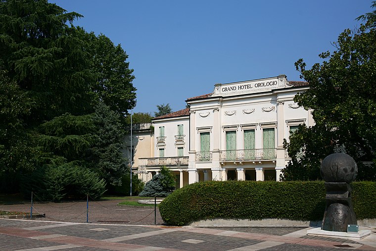
Photo: Paolobon140, CC BY-SA 4.0.
Abano Terme is a town and comune in the Province of Padua, in the Veneto region, Italy, on the eastern slope of the Euganean Hills; it is 10 kilometres southwest by rail from Padua. Abano Terme is situated 5 km east of Campo Sportivo ‘Gian Enrico Lugli’.
Campo Sportivo ‘Gian Enrico Lugli’
- Type: Pitch
- Categories: recreation area, football, and sports location
- Location: Teolo, Padova, Veneto, Northeast Italy, Italy, Europe
- View on OpenStreetMap
Latitude
45.36957° or 45° 22′ 11″ northLongitude
11.72201° or 11° 43′ 19″ eastOpen location code
8FQH9P9C+RROpenStreetMap ID
way 61583575OpenStreetMap feature
leisure=pitchOpenStreetMap feature
sport=soccer
This page is based on OpenStreetMap, Wikidata, and Wikimedia Commons.
We’d love your help improving our open data sources. Thank you for contributing.
Satellite Map
Discover Campo Sportivo ‘Gian Enrico Lugli’ from above in high-definition satellite imagery.
Notable Places Nearby
Highlights include Palazzetto dello sport and Centro Sportivo Euganeo.
Nearby Places
Explore places such as Tito Livio and Farmacia Perini.
Curious Pitches to Discover
Uncover intriguing pitches from every corner of the globe.
About Mapcarta. Data © OpenStreetMap contributors and available under the Open Database License". Text is available under the CC BY-SA 4.0 license, except for photos, directions, and the map. Photo: Pmk58, CC BY-SA 4.0.