Vinarius on the Roman
Vinarius on the Roman is a liquor store in Tower Hamlets, Greater London, England which is located on Roman Road. Vinarius on the Roman is situated nearby to the community center Bow Community Centre, as well as near the marketplace Roman Road Market.| Tap on a place to explore it |
Places of Interest Nearby
Highlights include London Stadium and St Paul’s.
London Stadium
Stadium

Photo: Arne mueseler, CC BY-SA 3.0 de.
London Stadium is a multi-purpose outdoor stadium at Queen Elizabeth Olympic Park in the Stratford district of London. It is located in the Lower Lea Valley, 6 miles east of central London. London Stadium is situated 4,000 feet northeast of Vinarius on the Roman.
St Paul’s
Church

Photo: Ekphraster, CC BY-SA 3.0.
St Paul's, Old Ford, is a late 19th-century church in Old Ford, London, England. It is an Anglican church in the Diocese of London. St Paul’s is situated 400 feet northwest of Vinarius on the Roman.
London Aquatics Centre
Stadium
 The London Aquatics Centre is an indoor facility with two 50-metre swimming pools and a 25-metre diving pool in Queen Elizabeth Olympic Park in Stratford, London. London Aquatics Centre is situated 1 mile northeast of Vinarius on the Roman.
Places in the Area
Nearby places include Bow and Old Ford.
Bow
Suburb
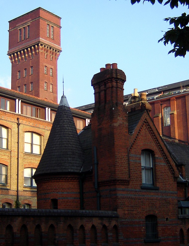
Photo: Wikimedia, CC BY-SA 2.5.
Bow is a district in East London, England and is in the London Borough of Tower Hamlets. It is an inner-city suburb located 4.6 miles east of Charing Cross.
Old Ford
Quarter
Photo: Ekphraster, CC BY-SA 3.0.
Old Ford is an area in the London Borough of Tower Hamlets that is named after the natural ford which provided a crossing of the River Lea.
Bow Quarter
Neighborhood
Photo: Wikimedia, CC BY-SA 2.5.
Bow Quarter is a gated community in Bow in the London Borough of Tower Hamlets. The building was originally the Bryant and May match factory, and was the site of the Match Girls' strike in the 1880s.
Vinarius on the Roman
- Type: Liquor store
- Address: 536 Roman Road, London, E3 5ES
- Categories: building, shop, and retail building
- Location: Tower Hamlets, Greater London, England, United Kingdom, Britain and Ireland, Europe
- View on OpenStreetMap
Latitude
51.53252° or 51° 31′ 57″ northLongitude
-0.03098° or 0° 1′ 52″ westLevels
3Open location code
9C3XGXM9+2JOpenStreetMap ID
way 618004598OpenStreetMap feature
building=retailOpenStreetMap feature
shop=alcohol
This page is based on OpenStreetMap, Wikidata, and Wikimedia Commons.
We’d love your help improving our open data sources. Thank you for contributing.
Satellite Map
Discover Vinarius on the Roman from above in high-definition satellite imagery.
Notable Places Nearby
Highlights include Roman Road Market and Bow Community Centre.
Nearby Places
Explore places such as Bell Pharmacy (Bow) and William Place Dental Aesthetics.
England: Must-Visit Destinations
Delve into London, Manchester, Sheffield, and Leeds.
Curious Liquor Stores to Discover
Uncover intriguing liquor stores from every corner of the globe.
About Mapcarta. Data © OpenStreetMap contributors and available under the Open Database License". Text is available under the CC BY-SA 4.0 license, except for photos, directions, and the map. Photo: sidibousaid, CC BY 2.0.