Es Caragolet
Es Caragolet is a chalet in Puigpunyent, Balearic Islands. Es Caragolet is situated nearby to the archaeological site La Casa del Gegant de Son Puig, as well as near the peak puig des Meló.| Tap on a place to explore it |
Places of Interest Nearby
Highlights include La Casa del Gegant de Son Puig and Fita del Ram.
La Casa del Gegant de Son Puig
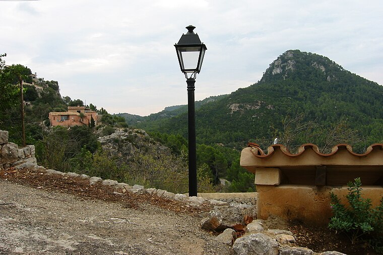
Archaeological site

Photo: Joan Gené, CC BY-SA 4.0.
La Casa del Gegant de Son Puig is an archaeological site, which is situated 100 metres southeast of Es Caragolet.

Na Bauçà
Scenic viewpoint
 Na Bauçà is a scenic viewpoint, which is situated 3 km southwest of Es Caragolet.
Places in the Area
Nearby places include La Granja and Esporles.
La Granja
Locality

Photo: Philipcolev, CC BY-SA 3.0 es.
La Granja is a locality, which is situated 5 km north of Es Caragolet.
Esporles
Village

Photo: Paucabot, CC BY-SA 3.0.
Esporles is a locality and Spanish municipality of the autonomous community of the Balearic Islands. Situated on the island of Majorca, around the zone of the Serra de Tramuntana. Esporles is situated 6 km northeast of Es Caragolet.
Estellencs
Village

Photo: Derbrauni, CC BY-SA 4.0.
Estellencs is a municipality on the Spanish Balearic island of Majorca. The village of the same name is the administrative seat of the municipality. It borders the municipalities of Andratx, Calvià, Puigpunyent, and Banyalbufar. Estellencs is situated 6 km northwest of Es Caragolet.
Es Caragolet
- Type: Chalet
- Categories: house, building, tourism, and accommodation
- Location: Puigpunyent, Balearic Islands, Spain, Iberia, Europe
- View on OpenStreetMap
Latitude
39.62817° or 39° 37′ 41″ northLongitude
2.5404° or 2° 32′ 25″ eastOpen location code
8FF4JGHR+75OpenStreetMap ID
way 620969771OpenStreetMap feature
building=houseOpenStreetMap feature
tourism=chalet
This page is based on OpenStreetMap, Wikidata, and Wikimedia Commons.
We’d love your help improving our open data sources. Thank you for contributing.
Satellite Map
Discover Es Caragolet from above in high-definition satellite imagery.
Places with the Same Name
Discover other places named “Es Caragolet”.
Notable Places Nearby
Highlights include puig des Meló and plaça de Son Bru.
Nearby Places
Explore places such as Can Ribas and Son Canari.
Balearic Islands: Must-Visit Destinations
Delve into Palma de Mallorca, Formentera, Ibiza, and Maó.
Curious Chalets to Discover
Uncover intriguing chalets from every corner of the globe.
About Mapcarta. Data © OpenStreetMap contributors and available under the Open Database License". Text is available under the CC BY-SA 4.0 license, except for photos, directions, and the map. Photo: anieto2k, CC BY-SA 2.0.