Pfalzpfoten Hundschule
Pfalzpfoten Hundschule is a grassland in Frankenthal (Pfalz), Rhineland-Palatinate. Pfalzpfoten Hundschule is situated nearby to the cemetery Friedhof Flomersheim, as well as near the square Falterplatz.| Tap on a place to explore it |
Places of Interest Nearby
Highlights include Congressforum Frankenthal and Speyerer Tor.
Congressforum Frankenthal
Public building

Photo: CFF-FT, CC BY-SA 4.0.
Congressforum Frankenthal is a public building, which is situated 1½ km northeast of Pfalzpfoten Hundschule.
Speyerer Tor

Photo: Berthold Werner, CC BY-SA 3.0.
Speyerer Tor is situated 2 km northeast of Pfalzpfoten Hundschule.
Waldorfschule Frankenthal
School

Photo: Immanuel Giel, CC BY-SA 4.0.
Waldorfschule Frankenthal is a school, which is situated 1 km northeast of Pfalzpfoten Hundschule.
Places in the Area
Nearby places include Eppstein and Frankenthal.
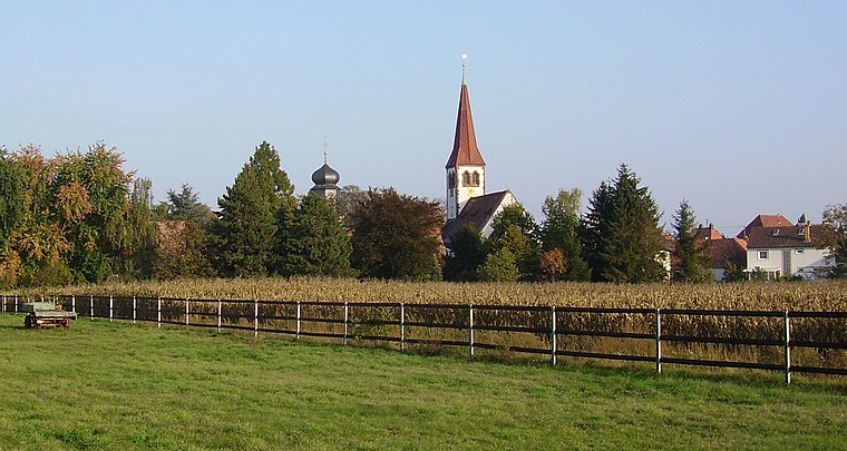
Frankenthal
Town

Photo: Mundartpoet, CC BY-SA 3.0.
Frankenthal is a town in southwestern Germany, in the state of Rhineland-Palatinate.
Feierabendhaus
Locality

Photo: Wikimedia, CC BY-SA 3.0.
Feierabendhaus is a locality, which is situated 2½ km northeast of Pfalzpfoten Hundschule.
Pfalzpfoten Hundschule
Latitude
49.51744° or 49° 31′ 3″ northLongitude
8.3404° or 8° 20′ 25″ eastOpen location code
8FXCG88R+X5OpenStreetMap ID
way 622248641OpenStreetMap feature
landuse=grass
This page is based on OpenStreetMap, Wikidata, and Wikimedia Commons.
We’d love your help improving our open data sources. Thank you for contributing.
Satellite Map
Discover Pfalzpfoten Hundschule from above in high-definition satellite imagery.
Notable Places Nearby
Highlights include Friedhof Flomersheim and Falterplatz.
Nearby Places
Explore places such as Trauerhalle and Schränke Schlichtner.
Rhineland-Palatinate: Must-Visit Destinations
Delve into Mainz, Trier, Koblenz, and Worms.
Curious Grasslands to Discover
Uncover intriguing grasslands from every corner of the globe.
About Mapcarta. Data © OpenStreetMap contributors and available under the Open Database License". Text is available under the CC BY-SA 4.0 license, except for photos, directions, and the map. Photo: Traveler100, CC BY-SA 3.0.