Estación Transformadora Termas Norte
Estación Transformadora Termas Norte is an electrical substation in Santiago del Estero Province, Argentina. Estación Transformadora Termas Norte is situated nearby to the village Villa Turística Embalse, as well as near the town Termas de Río Hondo.| Tap on a place to explore it |
Places of Interest Nearby
Highlights include Autódromo Termas de Río Hondo and Termas de Río Hondo train station.
Autódromo Termas de Río Hondo
Sports venue
 Autódromo Termas de Río Hondo is a 4.805 km motorsport circuit located in Termas de Río Hondo, Argentina. The circuit was opened in 2008 and underwent a complete overhaul and rebuild process in 2012, based on design by the Italian circuit designer Jarno Zaffelli. Autódromo Termas de Río Hondo is situated 2 km west of Estación Transformadora Termas Norte.
Termas de Río Hondo train station
Building

Photo: Alpertron, CC BY-SA 4.0.
Termas de Río Hondo train station is a building, which is situated 3 km east of Estación Transformadora Termas Norte.
Places in the Area
Nearby places include Villa Turística Embalse and Termas de Río Hondo.
Villa Turística Embalse
Village
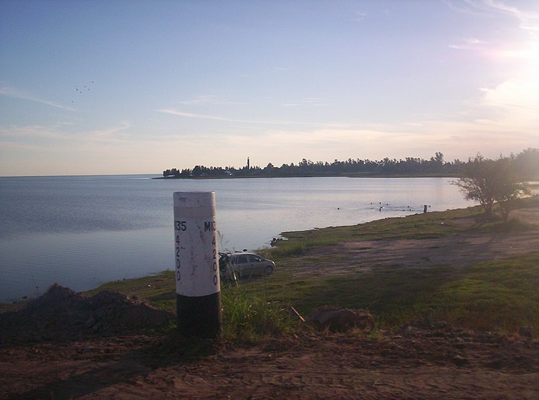
Photo: gustavochavez, CC BY 3.0.
Villa Turística Embalse is a village.
Termas de Río Hondo
Town

Photo: Alpertron, CC BY-SA 4.0.
Termas de Río Hondo is a spa city in Santiago del Estero Province, Argentina. It has 27,838 inhabitants as per the 2001 census. It is located on the banks of the Dulce River, 65 km north of the provincial capital Santiago del Estero, near the artificial Río Hondo Lake. Termas de Río Hondo is situated 3 km east of Estación Transformadora Termas Norte.
Estación Transformadora Termas Norte
- Type: Electrical substation
- Category: industry
- Location: Santiago del Estero Province, Argentina, South America
- View on OpenStreetMap
Latitude
-27.50131° or 27° 30′ 5″ southLongitude
-64.89337° or 64° 53′ 36″ westOperator
TRANSNOA S.A.Open location code
574QF4X4+FMOpenStreetMap ID
way 624145330
This page is based on OpenStreetMap, Wikidata, and Wikimedia Commons.
We’d love your help improving our open data sources. Thank you for contributing.
Satellite Map
Discover Estación Transformadora Termas Norte from above in high-definition satellite imagery.
Notable Places Nearby
Highlights include Termas de Río Hondo Golf Club and Tara Inti.
Nearby Places
Explore places such as Cabañas Ensueño del Lago and Agrupamiento 86042 Escuela 345.
Argentina: Must-Visit Destinations
Delve into Buenos Aires, Misiones, Aconcagua, and Rosario.
Curious Electrical Substations to Discover
Uncover intriguing electrical substations from every corner of the globe.
About Mapcarta. Data © OpenStreetMap contributors and available under the Open Database License". Text is available under the CC BY-SA 4.0 license, except for photos, directions, and the map. Photo: Wikimedia, CC0.