Clearwater Springs
Clearwater Springs is a park in Plainfield Township, Will, Illinois. Clearwater Springs is situated nearby to Mayfair Park, as well as near the town Plainfield.| Tap on a place to explore it |
Places of Interest Nearby
Highlights include Plainfield South High School.
Plainfield South High School
School
Plainfield South High School, or PSHS, is a four-year public high school located in Plainfield, Illinois, a southwest suburb of Chicago, Illinois, in the United States. Plainfield South High School is situated 1½ miles southwest of Clearwater Springs.
Places in the Area
Nearby places include Plainfield and Shorewood.
Plainfield
Town
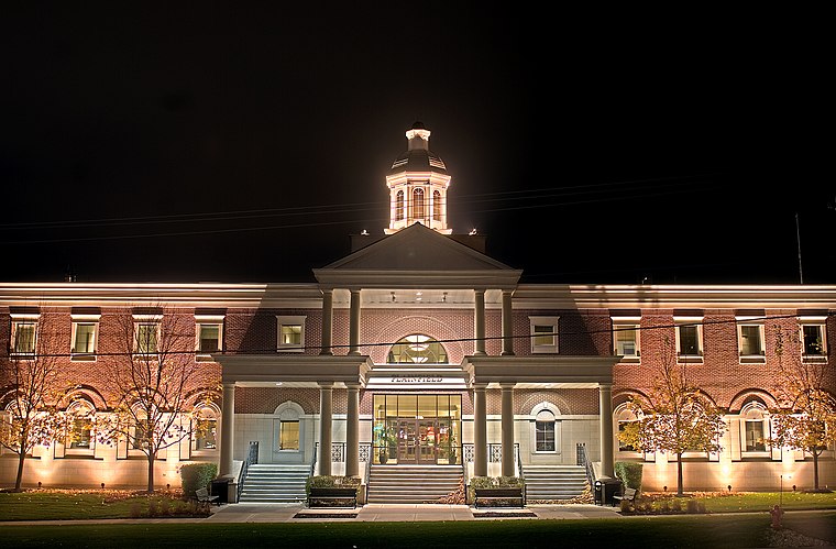
Photo: Leifrogers, CC BY-SA 3.0.
Plainfield is a village in Will and Kendall counties in the U.S. state of Illinois. The population was 44,762 at the 2020 census. It is part of the Chicago metropolitan area. Plainfield is situated 3½ miles northeast of Clearwater Springs.
Shorewood
Town

Photo: Wikimedia, Public domain.
Shorewood is a village in Troy Township, Will County, Illinois, United States. The population was 18,182 in the 2020 census, and is estimated to be 18,360 in 2024. Shorewood is situated 4½ miles southeast of Clearwater Springs.
Crystal Lawns
Hamlet
Crystal Lawns is an unincorporated community and census-designated place in Will County, Illinois, United States. The population was 1,830 at the 2020 census. Crystal Lawns is situated 5 miles east of Clearwater Springs.
Clearwater Springs
- Type: Park
- Category: recreation area
- Location: Plainfield Township, Will, Illinois, Midwest, United States, North America
- View on OpenStreetMap
Latitude
41.57349° or 41° 34′ 25″ northLongitude
-88.25033° or 88° 15′ 1″ westOpen location code
86HHHPFX+9VOpenStreetMap ID
way 656607524OpenStreetMap feature
leisure=park
This page is based on OpenStreetMap, Wikidata, and Wikimedia Commons.
We’d love your help improving our open data sources. Thank you for contributing.
Satellite Map
Discover Clearwater Springs from above in high-definition satellite imagery.
Places with the Same Name
Discover other places named “Clearwater Springs”.
Notable Places Nearby
Highlights include Mayfair Park and Joliet Police Department West Substation.
Nearby Places
Explore places such as Meadow View Elementary School and Westfield Family Restaurant.
Illinois: Must-Visit Destinations
Delve into Chicago, Springfield, Rockford, and Loop.
Curious Parks to Discover
Uncover intriguing parks from every corner of the globe.
About Mapcarta. Data © OpenStreetMap contributors and available under the Open Database License". Text is available under the CC BY-SA 4.0 license, except for photos, directions, and the map. Photo: Rastapopulous, CC BY-SA 3.0.