Centre d’incendie et de secours du Bois-Plage-en-Ré
Centre d’incendie et de secours du Bois-Plage-en-Ré is a fire station in Le Bois-Plage-en-Ré, Arrondissement of La Rochelle, Nouvelle-Aquitaine which is located on Avenue du Pas des Bœufs. Centre d’incendie et de secours du Bois-Plage-en-Ré is situated nearby to the grassland Square du 19 Mars 1962, as well as near the community center Salle Polyvalente/Salle des Oyats.| Tap on a place to explore it |
Places of Interest Nearby
Highlights include Église Notre-Dame-de-tous-les-Saints du Bois-Plage-en-Ré and Hôpital Saint-Honoré de Saint-Martin-de-Ré.
Église Notre-Dame-de-tous-les-Saints du Bois-Plage-en-Ré
Church

Photo: Chris06, CC BY-SA 4.0.
Église Notre-Dame-de-tous-les-Saints du Bois-Plage-en-Ré is a church, which is situated 460 metres northwest of Centre d’incendie et de secours du Bois-Plage-en-Ré.
Hôpital Saint-Honoré de Saint-Martin-de-Ré
Hospital

Photo: Daop5510, CC BY-SA 3.0.
Hôpital Saint-Honoré de Saint-Martin-de-Ré is a hospital, which is situated 2½ km northeast of Centre d’incendie et de secours du Bois-Plage-en-Ré.
Maison de la Vinatrie
Historic house
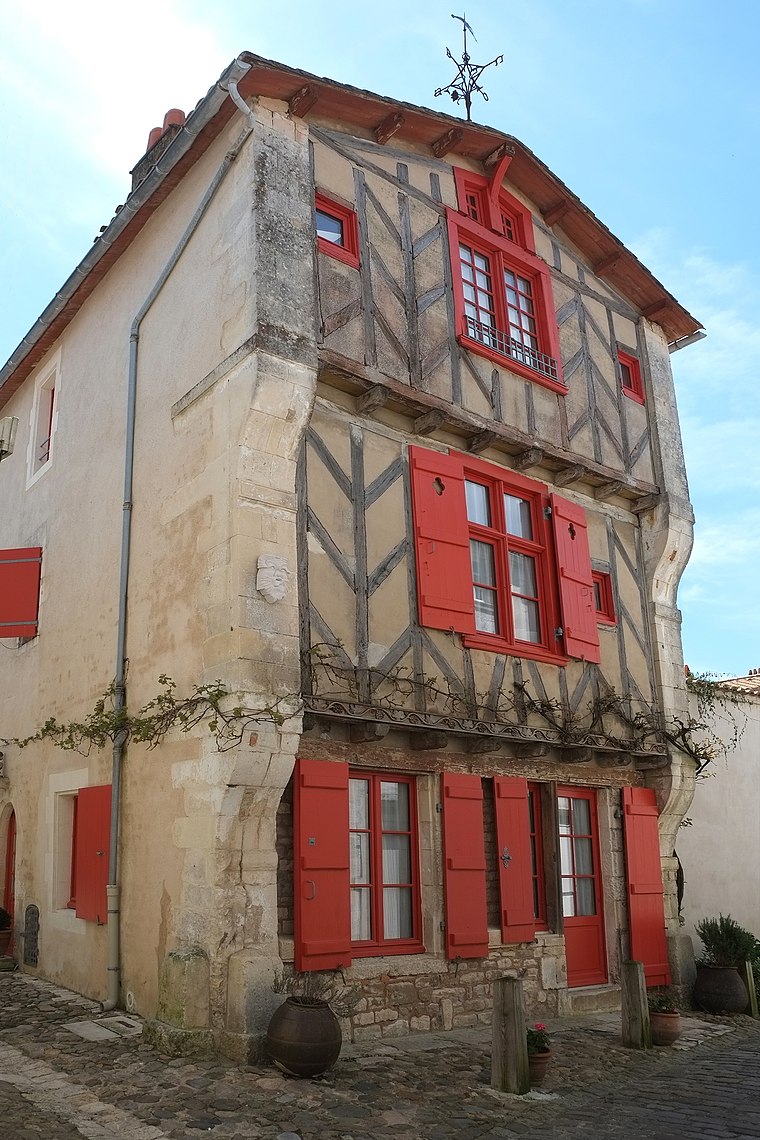
Photo: Piso17, CC BY-SA 4.0.
Maison de la Vinatrie is a historic house, which is situated 2½ km northeast of Centre d’incendie et de secours du Bois-Plage-en-Ré.
Places in the Area
Nearby places include Saint-Martin-de-Ré and La Couarde-sur-Mer.
Saint-Martin-de-Ré
Village

Photo: Stedewa, CC BY-SA 4.0.
Saint-Martin-de-Ré is a commune in the western French department of Charente-Maritime. It is one of the ten communes located on the Île de Ré. The fortifications in Saint-Martin-de-Ré, drawn up by Vauban between 1681 and 1685, were inscribed on the UNESCO…
La Couarde-sur-Mer
Village
 La Couarde-sur-Mer is a commune in the Charente-Maritime department, Nouvelle-Aquitaine, southwestern France. It is situated on the Île de Ré. La Couarde-sur-Mer is situated 3 km west of Centre d’incendie et de secours du Bois-Plage-en-Ré.
La Flotte
Village

Photo: Pep.per, CC BY-SA 1.0.
La Flotte is a village, which is situated 5 km east of Centre d’incendie et de secours du Bois-Plage-en-Ré.
Centre d’incendie et de secours du Bois-Plage-en-Ré
- Type: Fire station
- Address: Avenue du Pas des Bœufs
- Location: Le Bois-Plage-en-Ré, Arrondissement of La Rochelle, Charente-Maritime, Nouvelle-Aquitaine, France, Europe
- View on OpenStreetMap
Latitude
46.18461° or 46° 11′ 5″ northLongitude
-1.38716° or 1° 23′ 14″ westOperator
SDIS 17Open location code
8CRW5JM7+R4OpenStreetMap ID
way 658693709OpenStreetMap feature
amenity=fire_station
This page is based on OpenStreetMap, Wikidata, and Wikimedia Commons.
We’d love your help improving our open data sources. Thank you for contributing.
Satellite Map
Discover Centre d’incendie et de secours du Bois-Plage-en-Ré from above in high-definition satellite imagery.
Notable Places Nearby
Highlights include Square du 19 Mars 1962 and Salle Polyvalente/Salle des Oyats.
Nearby Places
Explore places such as Etoiles and La Grouille.
Charente-Maritime: Must-Visit Destinations
Delve into La Rochelle, Royan, Saintes, and La Tremblade.
Curious Fire Stations to Discover
Uncover intriguing fire stations from every corner of the globe.
About Mapcarta. Data © OpenStreetMap contributors and available under the Open Database License". Text is available under the CC BY-SA 4.0 license, except for photos, directions, and the map. Photo: Jpbazard, CC BY-SA 3.0.