Westmead Terrace Play Area
Westmead Terrace Play Area is a playground in Chippenham, Wiltshire, England. Westmead Terrace Play Area is situated nearby to Charter Primary School, as well as near the playground Larkham Rise Play Area.| Tap on a place to explore it |
Places of Interest Nearby
Highlights include St Andrew’s Church, Chippenham and Chippenham Town Hall.
St Andrew’s Church, Chippenham
Church

Photo: My another account, CC0.
St Andrew's Church of England parish church in Chippenham, Wiltshire, England, is an Inclusive, Fairtrade and Eco Church, committed to showing God's love through welcome, service and inclusivity. St Andrew’s Church, Chippenham is situated 1,700 feet north of Westmead Terrace Play Area.
Chippenham Town Hall
Town hall

Photo: Roger Cornfoot, CC BY-SA 2.0.
Chippenham Town Hall is a 19th-century municipal building in the High Street, Chippenham, Wiltshire, England. The town hall, which was the headquarters of Chippenham Borough Council, is a Grade II listed building. Chippenham Town Hall is situated 2,300 feet northwest of Westmead Terrace Play Area.
Chippenham railway station
Railway station
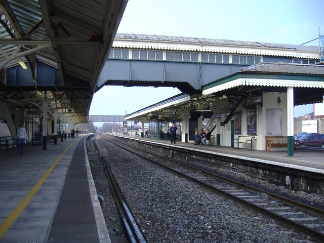
Photo: Roger Cornfoot, CC BY-SA 2.0.
Chippenham railway station is on the Great Western Main Line in South West England, serving the town of Chippenham, Wiltshire. It is 93 miles 76 chains down the line from the zero point at London Paddington and is situated between Swindon and Bath Spa on the GWML. Chippenham railway station is situated 3,500 feet north of Westmead Terrace Play Area.
Places in the Area
Nearby places include Pewsham and Langley Burrell.
Pewsham
Hamlet
Pewsham is a small village and former civil parish, now in Derry Hill & Studley parish, just south-east of the town of Chippenham on the A4 national route towards Calne in Wiltshire, England.
Langley Burrell
Village

Photo: ChurchCrawler, CC BY-SA 2.0.
Langley Burrell is a village in the civil parish of Langley Burrell Without, just north of Chippenham, Wiltshire, England. It is the largest settlement in the parish, which includes the hamlets of Peckingell and Kellaways. Langley Burrell is situated 1½ miles north of Westmead Terrace Play Area.
Tytherton Lucas
Hamlet

Photo: ChurchCrawler, CC BY-SA 2.0.
Tytherton Lucas is a hamlet in the civil parish of Bremhill in the ceremonial county of Wiltshire, England. Its nearest town is Chippenham, which lies approximately 2 miles south-west from the hamlet. Tytherton Lucas is situated 2 miles northeast of Westmead Terrace Play Area.
Westmead Terrace Play Area
- Type: Playground
- Category: recreation area
- Location: Chippenham, Wiltshire, West Country, England, United Kingdom, Britain and Ireland, Europe
- View on OpenStreetMap
Latitude
51.45332° or 51° 27′ 12″ northLongitude
-2.11096° or 2° 6′ 40″ westOpen location code
9C3VFV3Q+8JOpenStreetMap ID
way 664948099OpenStreetMap feature
leisure=playground
This page is based on OpenStreetMap, Wikidata, and Wikimedia Commons.
We’d love your help improving our open data sources. Thank you for contributing.
Satellite Map
Discover Westmead Terrace Play Area from above in high-definition satellite imagery.
Notable Places Nearby
Highlights include Charter Primary School and Larkham Rise Play Area.
Nearby Places
Explore places such as Jobcentre Plus and Lidl.
Wiltshire: Must-Visit Destinations
Delve into Stonehenge, Salisbury, Warminster, and Swindon.
Curious Playgrounds to Discover
Uncover intriguing playgrounds from every corner of the globe.
About Mapcarta. Data © OpenStreetMap contributors and available under the Open Database License". Text is available under the CC BY-SA 4.0 license, except for photos, directions, and the map. Photo: Rodhullandemu, CC BY-SA 3.0.