Iglesia de la Asunción de Nuestra Señora
Iglesia de la Asunción de Nuestra Señora is a church in Valle de Valdebezana, Burgos, Castile and León. Iglesia de la Asunción de Nuestra Señora is situated nearby to the pitch Bolera, as well as near the peak El Castillo.| Tap on a place to explore it |
Places of Interest Nearby
Highlights include Dolmen de Busnela and Castillo de Virtus.
Dolmen de Busnela
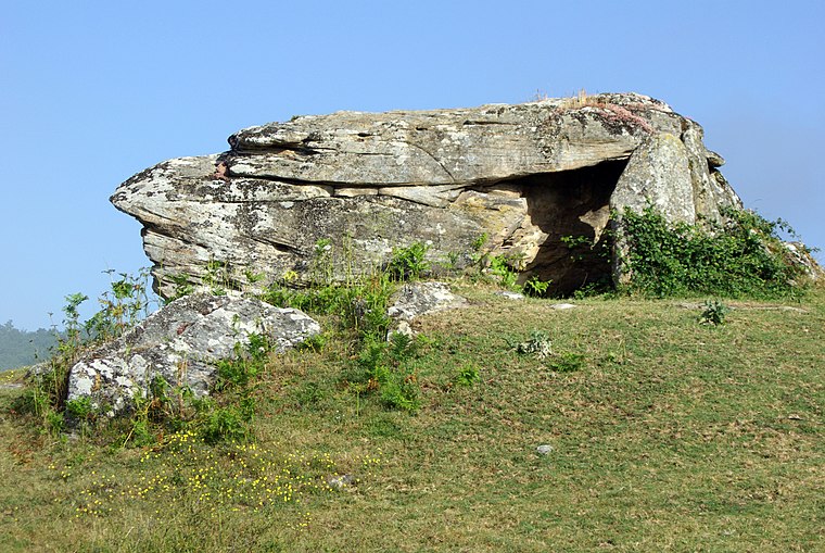
Photo: David Perez, CC BY 3.0.
Dolmen de Busnela is situated 3½ km north of Iglesia de la Asunción de Nuestra Señora.
Castillo de Virtus
Castle

Photo: Cronoser, CC BY-SA 4.0.
Castillo de Virtus is a castle, which is situated 3½ km southwest of Iglesia de la Asunción de Nuestra Señora.
Tower of The Porres
Castle

Photo: Hyfryd, CC BY-SA 3.0.
Tower of The Porres is a castle, which is situated 3½ km northeast of Iglesia de la Asunción de Nuestra Señora.
Places in the Area
Nearby places include Argomedo and Cidad de Valdeporres.
Argomedo
Hamlet

Photo: LBM1948, CC BY-SA 4.0.
Argomedo is a hamlet, which is situated 3 km southeast of Iglesia de la Asunción de Nuestra Señora.
Cidad de Valdeporres
Hamlet
Photo: Hyfryd, CC BY-SA 3.0.
Cidad de Valdeporres is a hamlet, which is situated 3½ km northeast of Iglesia de la Asunción de Nuestra Señora.
Virtus
Hamlet

Photo: Anibalrz, CC BY-SA 4.0.
Virtus is a village located in the province of Burgos, autonomous community of Castile and León, Spain. Belonging to Las Merindades comarca, it is the third most populated town of the valley, after Soncillo and Cilleruelo de Bezana. Virtus is situated 3½ km southwest of Iglesia de la Asunción de Nuestra Señora.
Iglesia de la Asunción de Nuestra Señora
- Type: Church
- Denomination: Catholic
- Categories: building, place of worship, and religion
- Location: Valle de Valdebezana, Burgos, Castile and León, Central Spain, Spain, Iberia, Europe
- View on OpenStreetMap
Latitude
42.99514° or 42° 59′ 43″ northLongitude
-3.79485° or 3° 47′ 42″ westOpen location code
8CJRX6W4+33OpenStreetMap ID
way 671155486OpenStreetMap feature
amenity=place_of_worshipOpenStreetMap feature
building=churchOpenStreetMap attribute
denomination=catholic
This page is based on OpenStreetMap, Wikidata, and Wikimedia Commons.
We’d love your help improving our open data sources. Thank you for contributing.
Satellite Map
Discover Iglesia de la Asunción de Nuestra Señora from above in high-definition satellite imagery.
Places with the Same Name
Discover other places named “Iglesia de la Asunción de Nuestra Señora”.
Notable Places Nearby
Highlights include Bolera and El Castillo.
Nearby Places
Explore places such as Consultorio Médico de Quintanaentello and La Pradera.
Castile and León: Must-Visit Destinations
Delve into Valladolid, Salamanca, Segovia, and León.
Curious Churches to Discover
Uncover intriguing churches from every corner of the globe.
About Mapcarta. Data © OpenStreetMap contributors and available under the Open Database License". Text is available under the CC BY-SA 4.0 license, except for photos, directions, and the map. Photo: Choniron, CC BY-SA 3.0 es.