Rowland Hassall School
Rowland Hassall School is a school in Fairfield City Council, New South Wales which is located on Parkham Street. Rowland Hassall School is situated nearby to the park Ryan Reserve, as well as near the sports venue Plus Fitness.| Tap on a place to explore it |
- Email: rowlandhas-s.school@det.nsw.edu.au
- Type: School
- Address: 18B Parkham Street, Chester Hill, NSW 2162
Places of Interest Nearby
Highlights include Villawood Immigration Detention Centre and Guildford railway station.
Villawood Immigration Detention Centre
Prison

Photo: DIAC images, CC BY 2.0.
Villawood Immigration Detention Centre, originally Villawood Migrant Hostel or Villawood Migrant Centre, split into a separate section named Westbridge Migrant Hostel from 1968 to 1984, is an Australian immigration detention facility located in the suburb of Villawood in Sydney, Australia. Villawood Immigration Detention Centre is situated 1 km south of Rowland Hassall School.
Guildford railway station
Railway station

Photo: Wykymania, CC BY-SA 3.0.
Guildford railway station is a partially heritage-listed railway station located on the Main South line, serving the Sydney suburb of Guildford. It is served by Sydney Trains' T2 Leppington & Inner West and T5 Cumberland line services. Guildford railway station is situated 1½ km north of Rowland Hassall School.
Leightonfield railway station
Railway station
 Leightonfield railway station is a heritage-listed railway station on the Main Southern railway line in the Sydney suburb of Villawood. It is served by Sydney Trains' T3 Liverpool & Inner West Line services. Leightonfield railway station is situated 1½ km south of Rowland Hassall School.
Places in the Area
Nearby places include Parramatta and South West.
Parramatta

Photo: Wikimedia, CC BY-SA 3.0.
Parramatta is a western district of Sydney, a city in its own right within the Sydney Metropolitan Area, and the second oldest European settlement on the Australian mainland.
South West
 Southwestern Sydney is a large residential area to the south and west of Sydney, including the centres of Cabramatta and Liverpool. The district also covers the Canterbury-Bankstown area, but not the Macarthur suburbs.
Newington
Suburb
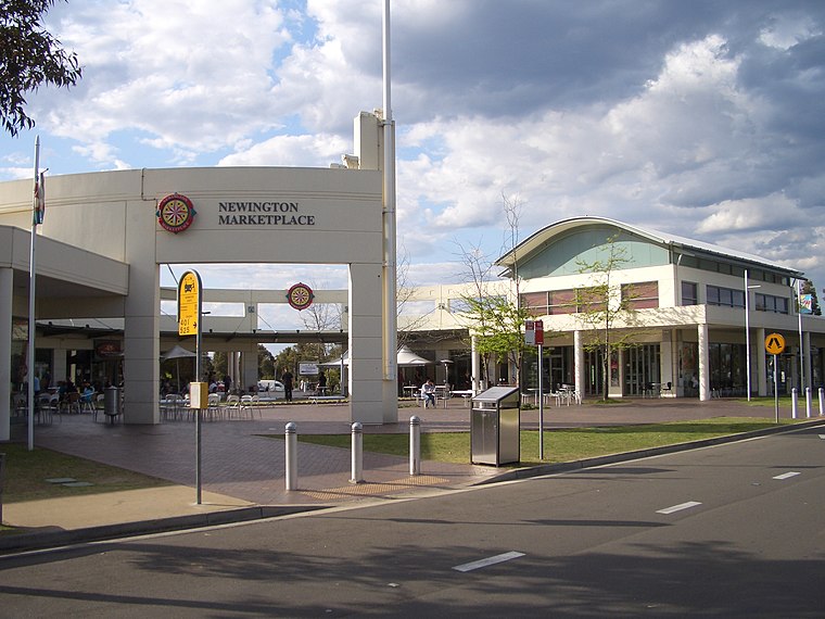 Newington is a western suburb of Sydney, in the state of New South Wales, Australia. It is 16 kilometres west of the Sydney central business district, in the local government area of City of Parramatta. Newington is situated 7 km northeast of Rowland Hassall School.
Rowland Hassall School
- Category: education
- Location: Fairfield City Council, New South Wales, Australia, Oceania
- View on OpenStreetMap
Latitude
-33.86773° or 33° 52′ 4″ southLongitude
150.98879° or 150° 59′ 20″ eastOperator
NSW Department of EducationOpen location code
4RRG4XJQ+WGOpenStreetMap ID
way 679941746OpenStreetMap feature
amenity=school
This page is based on OpenStreetMap, Wikidata, and Wikimedia Commons.
We’d love your help improving our open data sources. Thank you for contributing.
Satellite Map
Discover Rowland Hassall School from above in high-definition satellite imagery.
Notable Places Nearby
Highlights include Ryan Reserve and Plus Fitness.
Nearby Places
Explore places such as Woodville Rd opp Old Guildford Public School and Woodville Rd before Fuller St.
New South Wales: Must-Visit Destinations
Delve into Sydney, Mungo National Park, Newcastle, and New England National Park.
Curious Places to Discover
Uncover intriguing places from every corner of the globe.
About Mapcarta. Data © OpenStreetMap contributors and available under the Open Database License". Text is available under the CC BY-SA 4.0 license, except for photos, directions, and the map. Photo: Cheggas7, CC BY-SA 4.0.