Recyparc de Wasseiges (Ambresin)
Recyparc de Wasseiges (Ambresin) is in Wasseiges, Arrondissement of Waremme, Wallonia. Recyparc de Wasseiges (Ambresin) is situated nearby to the protected area Site Classé Les Marais et les bassins de décantation, as well as near the cemetery Ancien cimetière d’Ambresin.| Tap on a place to explore it |
Places of Interest Nearby
Highlights include Tumuli du Soleil and Meeffe station.
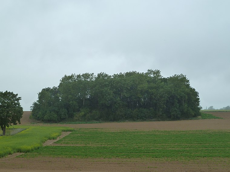
Tumuli du Soleil
Archaeological site
 Tumuli du Soleil is an archaeological site, which is situated 1¼ km northeast of Recyparc de Wasseiges (Ambresin).
Meeffe station

Photo: Smiley.toerist, CC BY-SA 3.0.
Meeffe station is situated 2 km south of Recyparc de Wasseiges (Ambresin).
Tumuli of Mirteaux
Archaeological site
 Tumuli of Mirteaux is an archaeological site, which is situated 2½ km northwest of Recyparc de Wasseiges (Ambresin).
Places in the Area
Nearby places include Moxhe and Boneffe.
Moxhe
Village

Photo: Paul Hermans, CC BY-SA 3.0.
Moxhe is a village, which is situated 4 km east of Recyparc de Wasseiges (Ambresin).
Boneffe
Village

Photo: Grentidez, Public domain.
Boneffe is a village, which is situated 5 km west of Recyparc de Wasseiges (Ambresin).
Burdinne
Village

Photo: Smiley.toerist, CC BY-SA 4.0.
Burdinne is a municipality of Wallonia located in the province of liège, Belgium. On 1 January 2006 Burdinne had a total population of 2,824. The total area is 32.57 km. Burdinne is situated 6 km southeast of Recyparc de Wasseiges (Ambresin).
Recyparc de Wasseiges (Ambresin)
- Type: Industry
- Location: Wasseiges, Arrondissement of Waremme, Liège, Wallonia, Belgium, Benelux, Europe
- View on OpenStreetMap
Latitude
50.62601° or 50° 37′ 34″ northLongitude
5.02582° or 5° 1′ 33″ eastOpen location code
9F27J2GG+C8OpenStreetMap ID
way 695021913OpenStreetMap feature
amenity=recyclingOpenStreetMap feature
landuse=industrial
This page is based on OpenStreetMap, Wikidata, and Wikimedia Commons.
We’d love your help improving our open data sources. Thank you for contributing.
Satellite Map
Discover Recyparc de Wasseiges (Ambresin) from above in high-definition satellite imagery.
Notable Places Nearby
Highlights include Site Classé Les Marais et les bassins de décantation and Ancien cimetière d’Ambresin.
Nearby Places
Explore places such as Hangar de stockage matériel communal and Potale Notre-Dame de Bon-Secours.
Curious Places to Discover
Uncover intriguing places from every corner of the globe.
About Mapcarta. Data © OpenStreetMap contributors and available under the Open Database License". Text is available under the CC BY-SA 4.0 license, except for photos, directions, and the map. Photo: Gilles San Martin, CC BY-SA 3.0.