Orto Sociale ‘Littoria’
Orto Sociale ‘Littoria’ is an allotment garden in Latina, Latina, Lazio. Orto Sociale ‘Littoria’ is situated nearby to the government office Tribunale di Latina - Sezione Esecuzioni Mobiliari ed Immobiliari, as well as near UNEP Latina.| Tap on a place to explore it |
Places of Interest Nearby
Highlights include Museo civico Duilio Cambellotti and Latina Cathedral.
Museo civico Duilio Cambellotti
Museum

Photo: Pietro, CC BY-SA 4.0.
Museo civico Duilio Cambellotti is a museum, which is situated 1¼ km southwest of Orto Sociale ‘Littoria’.
Latina Cathedral
Church
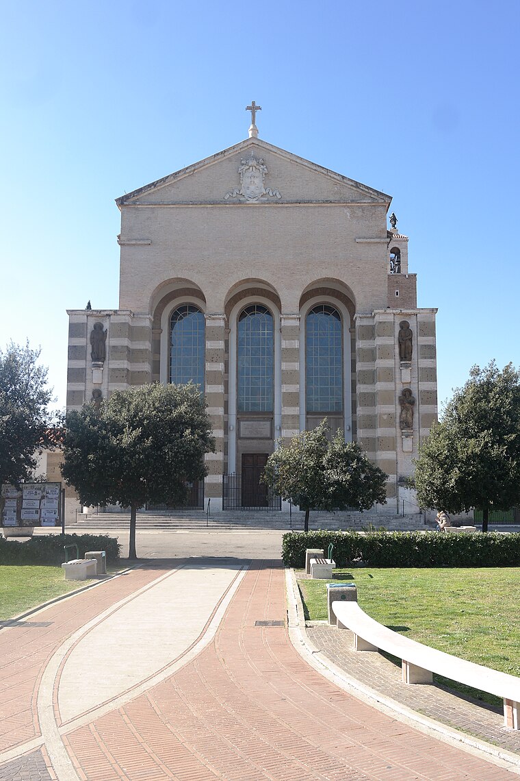
Photo: Luca Aless, CC BY-SA 4.0.
Latina Cathedral is a Roman Catholic cathedral, dedicated to Saint Mark, situated in the centre of the city of Latina, Lazio, Italy. It is the seat of the bishops of Latina-Terracina-Sezze-Priverno. Latina Cathedral is situated 1¼ km southwest of Orto Sociale ‘Littoria’.
Stadio Domenico Francioni
Pitch
Stadio Domenico Francioni, is a multi-purpose stadium in Latina, Lazio, Italy. It is mainly used mostly for football matches and hosts the home matches of Latina Calcio 1932 of the Serie C. The stadium has a capacity of 9,398 spectators. Stadio Domenico Francioni is situated 1½ km southwest of Orto Sociale ‘Littoria’.
Places in the Area
Nearby places include Latina Scalo and Borgo Santa Maria.
Latina Scalo
Village

Photo: Wikimedia, CC BY-SA 3.0.
Latina Scalo is a village, which is situated 7 km northeast of Orto Sociale ‘Littoria’.
Borgo Santa Maria
Village
Borgo Santa Maria is a small town located 10 km west of Latina, in Lazio, Italy. Its population amounted to 640 in 2011. Borgo Santa Maria is situated 9 km west of Orto Sociale ‘Littoria’.
Borgo Sabotino
Village

Photo: Raboe001, CC BY-SA 3.0 de.
Borgo Sabotino is a village, which is situated 9 km southwest of Orto Sociale ‘Littoria’.
Orto Sociale ‘Littoria’
- Type: Allotment garden
- Location: Latina, Latina, Lazio, Central Italy, Italy, Europe
- View on OpenStreetMap
Latitude
41.47333° or 41° 28′ 24″ northLongitude
12.91185° or 12° 54′ 43″ eastOpen location code
8FHJFWF6+8POpenStreetMap ID
way 702090004OpenStreetMap feature
landuse=allotments
This page is based on OpenStreetMap, Wikidata, and Wikimedia Commons.
We’d love your help improving our open data sources. Thank you for contributing.
Satellite Map
Discover Orto Sociale ‘Littoria’ from above in high-definition satellite imagery.
Notable Places Nearby
Highlights include Tribunale di Latina - Sezione Esecuzioni Mobiliari ed Immobiliari and UNEP Latina.
Nearby Places
Explore places such as Condominio ATER and Procura della Repubblica.
Latina: Must-Visit Destinations
Delve into Gaeta, Sperlonga, Priverno, and Sermoneta.
Curious Allotment Gardens to Discover
Uncover intriguing allotment gardens from every corner of the globe.
About Mapcarta. Data © OpenStreetMap contributors and available under the Open Database License". Text is available under the CC BY-SA 4.0 license, except for photos, directions, and the map. Photo: Gaetano Rap, CC BY 2.0.