Pasture Wood
Pasture Wood is a forest in Irnham, South Kesteven District, England. Pasture Wood is situated nearby to the hamlet Bulby, as well as near the village Kirkby Underwood.| Tap on a place to explore it |
Places of Interest
Highlights include Church of St. Mary and All Saints and Church of St. Andrew, Irnham.


Places in the Area
Nearby places include Bourne and Rippingale.
Bourne
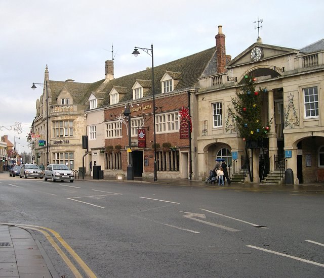
Photo: Tony Atkin, CC BY-SA 2.0.
Bourne is a market town in Lincolnshire, with a population of 18,000 in 2021. There are 71 listed buildings in the parish of Bourne, the most important being Bourne Abbey and the Parish Church of St Peter and St Paul, which is scheduled Grade I.
Rippingale
Village

Photo: Richard Croft, CC BY-SA 2.0.
Rippingale is a village and civil parish in the South Kesteven district of Lincolnshire, England. The population of the civil parish was 929 at the 2011 census.
Kirkby Underwood
Village

Photo: Tony Atkin, CC BY-SA 2.0.
Kirkby Underwood is a village and civil parish in the South Kesteven district of Lincolnshire, England. The population of the civil parish was 200 at the 2001 census, increasing to 220 at the 2011 census.
Pasture Wood
Latitude
52.8209° or 52° 49′ 15″ northLongitude
-0.4237° or 0° 25′ 26″ westOpen location code
9C4XRHCG+9GOpenStreetMap ID
way 702931250OpenStreetMap feature
natural=wood
This page is based on OpenStreetMap, Wikidata, and Wikimedia Commons.
We’d love your help improving our open data sources. Thank you for contributing.
Satellite Map
Discover Pasture Wood from above in high-definition satellite imagery.
Places with the Same Name
Discover other places named “Pasture Wood”.
Localities in the Area
Explore places such as Bulby and Stainfield near Bourne.
Notable Places Nearby
Highlights include Scullar Wood and Thorny Wood.
Lincolnshire: Must-Visit Destinations
Delve into Lincoln, Grimsby, Scunthorpe, and Stamford.
Curious Forests to Discover
Uncover intriguing forests from every corner of the globe.
About Mapcarta. Data © OpenStreetMap contributors and available under the Open Database License". Text is available under the CC BY-SA 4.0 license, except for photos, directions, and the map. Photo: Wikimedia, CC0.