Klassno Restaurant
Klassno Restaurant is a restaurant in Tehran, Central Iran and has an elevation of 3,000 metres. Klassno Restaurant is situated nearby to the valley اسپید کمر, as well as near Milad´s Spring.| Tap on a place to explore it |
Places of Interest Nearby
Highlights include Tochal.
Tochal
Peak

Photo: Wikimedia, CC BY-SA 3.0.
Tochal, is a mountain and ski resort located on the Alborz mountain range, adjacent to the metropolitan area of Tehran in northern Iran. It includes a 12-kilometre-long ridge. Tochal is situated 3½ km northeast of Klassno Restaurant.
Places in the Area
Nearby places include Emamzadeh Davud and District 1.
Emamzadeh Davud
Village
 Emamzadeh Davud is a village in Sulqan Rural District of Kan District in Tehran County, Tehran province, Iran. Emamzadeh Davud is situated 6 km west of Klassno Restaurant.
District 1
Suburb

Photo: Simisa, CC BY-SA 3.0.
Shemiranat County is in Tehran province, Iran. Its capital is Tajrish. District 1 is situated 6 km southeast of Klassno Restaurant.
Evin
Neighborhood
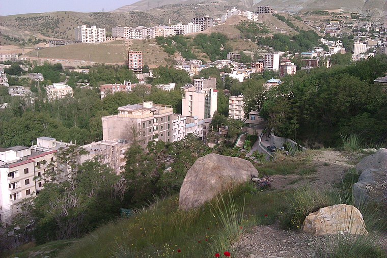
Photo: یوسف سعادت, CC BY-SA 3.0.
Evin is a neighbourhood in the north of Tehran. The district consists of an old section with homes surrounded by orchards and gardens and a new section with high rises and skyscrapers. Evin is situated 6 km south of Klassno Restaurant.
Klassno Restaurant
- Type: Restaurant
- Categories: building and food
- Location: Tehran, Central Iran, Iran, Middle East, Asia
- View on OpenStreetMap
Latitude
35.85775° or 35° 51′ 28″ northLongitude
51.40043° or 51° 24′ 2″ eastElevation
3,000 metres (9,843 feet)Open location code
8H7HVC52+45OpenStreetMap ID
way 705988449OpenStreetMap feature
amenity=restaurantOpenStreetMap feature
building=yes
This page is based on OpenStreetMap, Wikidata, and Wikimedia Commons.
We’d love your help improving our open data sources. Thank you for contributing.
Satellite Map
Discover Klassno Restaurant from above in high-definition satellite imagery.
Notable Places Nearby
Highlights include اسپید کمر and Milad´s Spring.
Nearby Places
Explore places such as بلیت تله کابین and اجاره دوچرخه.
Tehran: Must-Visit Destinations
Delve into Tehran, Ray, Varamin, and Damavand.
Curious Restaurants to Discover
Uncover intriguing restaurants from every corner of the globe.
About Mapcarta. Data © OpenStreetMap contributors and available under the Open Database License". Text is available under the CC BY-SA 4.0 license, except for photos, directions, and the map. Photo: Wikimedia, CC0.