DG Tattoo
DG Tattoo is a tattoo parlor in Plymouth, England which is located on Thornbury Park Avenue. DG Tattoo is situated nearby to the grassland Reservoir Field, as well as near King’s School.| Tap on a place to explore it |
- Opening hours: Tuesday—Saturday 9:00 AM—6:00 PM or later
- Type: Tattoo parlor
- Address: 46 Thornbury Park Avenue, Plymouth, PL3 4NJ
- Roof shape: gabled
Places of Interest Nearby
Highlights include Home Park and Peverell Library.
Home Park
Stadium

Photo: Lee Vilenski, CC BY-SA 4.0.
Home Park is a football stadium in the area of Milehouse, Plymouth, Devon, England. With a capacity of 17,900, the ground has been the home of Plymouth Argyle Football Club since 1903, and was also used between 1900 and 1903 by Argyle Athletic club and Argyle F.C. and for athletics and rugby. Home Park is situated 2,700 feet southwest of DG Tattoo.
Peverell Library
Library

Photo: Libraries Taskforce, CC BY 2.0.
Peverell Library is situated 1,600 feet northwest of DG Tattoo.
Central Park
Park

Photo: Stephen McKay, CC BY-SA 2.0.
Plymouth's Central Park is situated to the north-east of Plymouth city centre in south-west Devon, England. Covering 68 hectares, Central Park is the largest park in Plymouth. Central Park is situated 2,700 feet southwest of DG Tattoo.
Places in the Area
Nearby places include Peverell and Hartley.
Peverell
Suburb
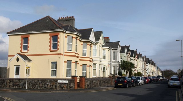
Photo: Derek Harper, CC BY-SA 2.0.
Peverell is a neighbourhood of Plymouth in the English county of Devon. The 2001 Census estimated the population as 6,455, increasing dramatically to 13,553 at the 2011 census.
Hartley
Suburb

Photo: Andrew Hackney, CC BY-SA 2.0.
Hartley is a suburb of Plymouth in the county of Devon, England. It is built on higher ground offering views south towards the sea, east into the South Hams, north over Dartmoor and west to Cornwall.

DG Tattoo
- Categories: building and shop
- Location: Plymouth, England, United Kingdom, Britain and Ireland, Europe
- View on OpenStreetMap
Latitude
50.39128° or 50° 23′ 29″ northLongitude
-4.14012° or 4° 8′ 24″ westLevels
2Open location code
9C2Q9VR5+GXOpenStreetMap ID
way 715437231OpenStreetMap feature
building=yesOpenStreetMap feature
shop=tattooOpenStreetMap attribute
roof-shape=gabled
This page is based on OpenStreetMap, Wikidata, and Wikimedia Commons.
We’d love your help improving our open data sources. Thank you for contributing.
Satellite Map
Discover DG Tattoo from above in high-definition satellite imagery.
Notable Places Nearby
Highlights include Reservoir Field and King’s School.
Nearby Places
Explore places such as Thornbury Park Avenue East and Costcutter.
England: Must-Visit Destinations
Delve into London, Manchester, Sheffield, and Leeds.
Curious Tattoo Parlors to Discover
Uncover intriguing tattoo parlors from every corner of the globe.
About Mapcarta. Data © OpenStreetMap contributors and available under the Open Database License". Text is available under the CC BY-SA 4.0 license, except for photos, directions, and the map. Photo: Smalljim, CC BY 3.0.