Meyer/Stemmle
Meyer/Stemmle is a factory in Mülheim-Kärlich, Mayen-Koblenz, Rhineland-Palatinate which is located on Auf dem Hahnenberg. Meyer/Stemmle is situated nearby to the post office FedEx Office, as well as near DHL Express Station Koblenz.| Tap on a place to explore it |
- Email: info@meyerstemmle.de
- Type: Factory
- Address: Auf dem Hahnenberg 22, Mülheim-Kärlich, 56218
Places of Interest Nearby
Highlights include Church of the Assumption of Mary and St. Mauritius.
Church of the Assumption of Mary
Church

Photo: Spurzem, CC BY-SA 2.0 de.
Church of the Assumption of Mary is situated 2 km southwest of Meyer/Stemmle.
St. Mauritius
Church

Photo: Schaengel, CC BY-SA 3.0 de.
St. Mauritius is a church, which is situated 2½ km south of Meyer/Stemmle.
St. Mauritius
Church

Photo: Wikimedia, CC BY-SA 2.0 de.
St. Mauritius is a church, which is situated 2½ km west of Meyer/Stemmle.
Places in the Area
Nearby places include Urmitz and Koblenz-Rübenach.
Urmitz
Village

Photo: Möwe-rhein601, CC BY-SA 3.0 de.
Urmitz is a municipality in the district of Mayen-Koblenz in Rhineland-Palatinate, western Germany. In the 4th millennium BC it contained one of the largest fortified settlements of the time.
Koblenz-Rübenach
Suburb

Photo: Schaengel, CC BY-SA 3.0 de.
Koblenz-Rübenach is a suburb, which is situated 3 km south of Meyer/Stemmle.
Kaltenengers
Village
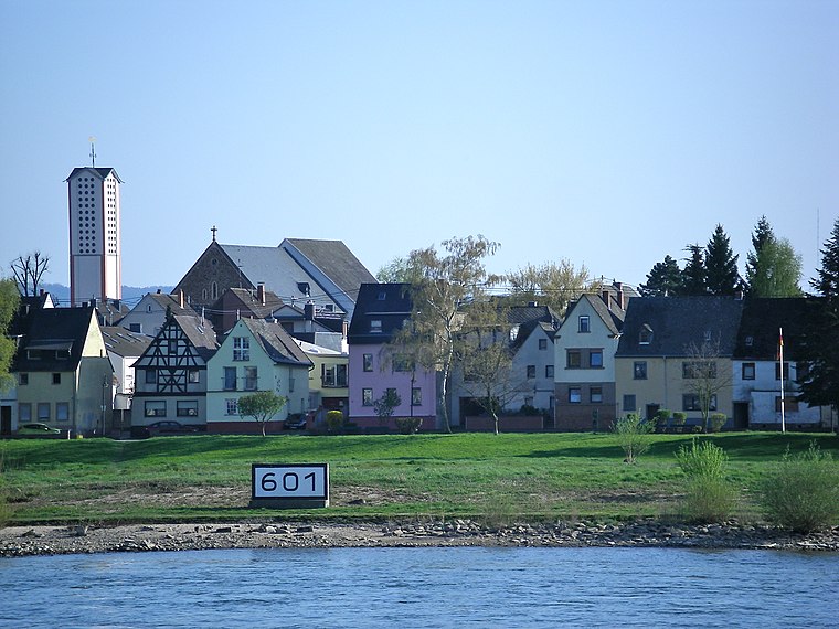
Photo: Volkes Stimme, CC BY-SA 3.0 de.
Kaltenengers is a municipality in the district of Mayen-Koblenz in Rhineland-Palatinate, western Germany. Kaltenengers is situated 3 km northeast of Meyer/Stemmle.
Meyer/Stemmle
- Category: industry
- Location: Mülheim-Kärlich, Mayen-Koblenz, Rhineland-Palatinate, Germany, Central Europe, Europe
- View on OpenStreetMap
Latitude
50.39498° or 50° 23′ 42″ northLongitude
7.51671° or 7° 31′ 0″ eastOperator
Meyer/Stemmle GmbH & Co. KGOpen location code
9F299GV8+XMOpenStreetMap ID
way 719435521OpenStreetMap feature
man_made=works
This page is based on OpenStreetMap, Wikidata, and Wikimedia Commons.
We’d love your help improving our open data sources. Thank you for contributing.
Satellite Map
Discover Meyer/Stemmle from above in high-definition satellite imagery.
Notable Places Nearby
Highlights include FedEx Office and DHL Express Station Koblenz.
Nearby Places
Explore places such as Hoefer and Ulla Popken.
Rhineland-Palatinate: Must-Visit Destinations
Delve into Mainz, Trier, Koblenz, and Worms.
Curious Factories to Discover
Uncover intriguing factories from every corner of the globe.
About Mapcarta. Data © OpenStreetMap contributors and available under the Open Database License". Text is available under the CC BY-SA 4.0 license, except for photos, directions, and the map. Photo: Traveler100, CC BY-SA 3.0.