Casal Duro
Casal Duro is a residential building in Capolona, Arezzo, Tuscany. Casal Duro is situated nearby to the cemetery Cimitero di Pieve San Giovanni, as well as near the reservoir Lago grande.| Tap on a place to explore it |
Places of Interest Nearby
Highlights include Santi Pietro e Ilario and San Francesco.
Santi Pietro e Ilario
Church
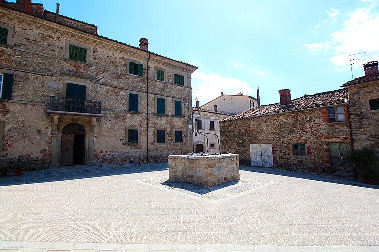
 Santi Pietro e Ilario is a church, which is situated 2½ km southwest of Casal Duro.
San Francesco
Church

Photo: Mongolo1984, CC BY-SA 4.0.
San Francesco is a church, which is situated 3½ km south of Casal Duro.
Places in the Area
Nearby places include Pieve San Giovanni and Rondine.
Rondine
Hamlet

Photo: Ettore Timi, CC BY 2.5.
Rondine is a small village in the Province of Arezzo, in Tuscany, Italy. It is located 12 km from the town of Arezzo. The settlement dates from the 11th century, when the castle was built. Rondine is situated 4 km southwest of Casal Duro.
Castelluccio
Village

Photo: LigaDue, CC BY-SA 4.0.
Castelluccio is a village, which is situated 4 km east of Casal Duro.
Casal Duro
- Type: Residential building
- Category: building
- Location: Capolona, Arezzo, Tuscany, Central Italy, Italy, Europe
- View on OpenStreetMap
Latitude
43.53803° or 43° 32′ 17″ northLongitude
11.78906° or 11° 47′ 21″ eastHeight
5.5 metres (18 feet)Open location code
8FMHGQQQ+6JOpenStreetMap ID
way 722374503OpenStreetMap feature
building=residential
This page is based on OpenStreetMap, Wikidata, and Wikimedia Commons.
We’d love your help improving our open data sources. Thank you for contributing.
Satellite Map
Discover Casal Duro from above in high-definition satellite imagery.
Places with the Same Name
Discover other places named “Casal Duro”.
Notable Places Nearby
Highlights include Cimitero di Pieve San Giovanni and Parcheggio Camper Fattoria La Valla.
Nearby Places
Explore places such as Casal Duro and Agriturismo Galealpe.
Arezzo: Must-Visit Destinations
Delve into Arezzo, Cortona, Poppi, and Montevarchi.
Curious Residential Buildings to Discover
Uncover intriguing residential buildings from every corner of the globe.
About Mapcarta. Data © OpenStreetMap contributors and available under the Open Database License". Text is available under the CC BY-SA 4.0 license, except for photos, directions, and the map. Photo: Wikimedia, CC0.