Al Plan de Aquedòt
Al Plan de Aquedòt is a locality in Mareo, South Tyrol, Trentino-Alto Adige. Al Plan de Aquedòt is situated nearby to the hamlet Torpei, as well as near Runcac.| Tap on a place to explore it |
Places of Interest
Highlights include Furkelpass and Crusc de Rit.
Furkelpass
Mountain saddle

Photo: Ulflulfl, Public domain.
The Furkelpass is a mountain pass in South Tyrol, Italy. The Furkelpass also Furkelsattel or simply the Furkel called, is a 1789 m high mountain pass in the Dolomites. Furkelpass is situated 3½ km northeast of Al Plan de Aquedòt.
Crusc de Rit
Peak
 The Crusc de Rit is a mountain in the Dolomites in South Tyrol, Italy. Crusc de Rit is situated 3½ km south of Al Plan de Aquedòt.
Piz da Peres
Peak
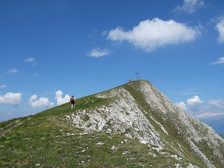
Photo: Cactus26, CC BY-SA 3.0.
Piz da Peres is a peak, which is situated 3 km northeast of Al Plan de Aquedòt.
Places in the Area
Nearby places include Al Plan and La Val.

La Val
Village

Photo: Alex1011, Public domain.
La Val is a comune in the province of South Tyrol in northern Italy, located about 45 kilometres northeast of the city of Bolzano. La Val is situated 4½ km south of Al Plan de Aquedòt.

Al Plan de Aquedòt
- Type: Locality
- Location: Mareo, South Tyrol, Trentino-Alto Adige, Northeast Italy, Italy, Europe
- View on OpenStreetMap
Latitude
46.698° or 46° 41′ 53″ northLongitude
11.94257° or 11° 56′ 33″ eastOpen location code
8FRHMWXV+52OpenStreetMap ID
way 722888001OpenStreetMap feature
place=locality
This page is based on OpenStreetMap, Wikidata, and Wikimedia Commons.
We’d love your help improving our open data sources. Thank you for contributing.
Satellite Map
Discover Al Plan de Aquedòt from above in high-definition satellite imagery.
Localities in the Area
Explore places such as Torpei and Runcac.
Notable Places Nearby
Highlights include B&B Villa Dolomites Hut ¤¤¤ and Laboratorio.
South Tyrol: Must-Visit Destinations
Delve into Bolzano, Brixen, Merano, and Bruneck.
Curious Localities to Discover
Uncover intriguing localities from every corner of the globe.
About Mapcarta. Data © OpenStreetMap contributors and available under the Open Database License". Text is available under the CC BY-SA 4.0 license, except for photos, directions, and the map. Photo: Benreis, CC BY 3.0.