Barron Surveying Services
Barron Surveying Services is a shop in Plymouth, England which is located on Abbotts Road. Barron Surveying Services is situated nearby to Mutley Park, as well as near the pitch Sir Francis Drake Bowling Club.| Tap on a place to explore it |
- Type: Shop
- Address: 8,8A Abbotts Road, Plymouth
- Roof shape: gabled
Places of Interest Nearby
Highlights include Home Park and Hyde Park Junior School.
Home Park
Stadium

Photo: Lee Vilenski, CC BY-SA 4.0.
Home Park is a football stadium in the area of Milehouse, Plymouth, Devon, England. With a capacity of 17,900, the ground has been the home of Plymouth Argyle Football Club since 1903, and was also used between 1900 and 1903 by Argyle Athletic club and Argyle F.C. and for athletics and rugby. Home Park is situated 3,200 feet west of Barron Surveying Services.
Hyde Park Junior School
School

Photo: Smalljim, CC BY-SA 3.0.
Hyde Park Junior School, founded in 1904, is a coeducational junior school located on Hyde Park Road, close to Mutley Plain in Plymouth, Devon, England. Hyde Park Junior School is situated 980 feet south of Barron Surveying Services.
Plymouth railway station
Railway station

Photo: Wikimedia, Copyrighted free use.
Plymouth railway station serves the city of Plymouth, Devon, England. It is on the northern edge of the city centre, close to the North Cross roundabout. Plymouth railway station is situated 4,000 feet south of Barron Surveying Services.
Places in the Area
Nearby places include Mutley and Mannamead.

Mannamead
Suburb
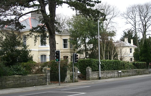
Photo: Tony Atkin, CC BY-SA 2.0.
Mannamead is a leafy suburb in the Compton ward of the city of Plymouth in the county of Devon, England. It was an affluent Victorian and early Edwardian suburb with wide avenues such as Seymour Road, grand villas and Thorn Park.
Peverell
Suburb
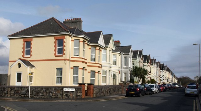
Photo: Derek Harper, CC BY-SA 2.0.
Peverell is a neighbourhood of Plymouth in the English county of Devon. The 2001 Census estimated the population as 6,455, increasing dramatically to 13,553 at the 2011 census.
Barron Surveying Services
- Category: building
- Location: Plymouth, England, United Kingdom, Britain and Ireland, Europe
- View on OpenStreetMap
Latitude
50.3882° or 50° 23′ 18″ northLongitude
-4.13693° or 4° 8′ 13″ westOpen location code
9C2Q9VQ7+76OpenStreetMap ID
way 726821767OpenStreetMap feature
building=yesOpenStreetMap feature
shop=yesOpenStreetMap attribute
roof-shape=gabled
This page is based on OpenStreetMap, Wikidata, and Wikimedia Commons.
We’d love your help improving our open data sources. Thank you for contributing.
Satellite Map
Discover Barron Surveying Services from above in high-definition satellite imagery.
Notable Places Nearby
Highlights include Mutley Park and Sir Francis Drake Bowling Club.
Nearby Places
Explore places such as Daisy Goord Salon and Moment In Time.
England: Must-Visit Destinations
Delve into London, Manchester, Sheffield, and Leeds.
Curious Shops to Discover
Uncover intriguing shops from every corner of the globe.
About Mapcarta. Data © OpenStreetMap contributors and available under the Open Database License". Text is available under the CC BY-SA 4.0 license, except for photos, directions, and the map. Photo: Smalljim, CC BY 3.0.