Goddard’s Farm
Goddard’s Farm is a farm in Brinkworth, Wiltshire, England. Goddard’s Farm is situated nearby to the sports venue Grittenham MX Track, as well as near the forest Great Wood.| Tap on a place to explore it |
Places of Interest Nearby
Highlights include Church of St Giles and Church of St Michael and All Angels.
Church of St Giles
Church

Photo: Roger Cornfoot, CC BY-SA 2.0.
Church of St Giles is situated 2½ miles southeast of Goddard’s Farm.
Church of St Michael and All Angels
Church

Photo: Eirian Evans, CC BY-SA 2.0.
Church of St Michael and All Angels is situated 2½ miles south of Goddard’s Farm.
Church of St Mary the Virgin
Church
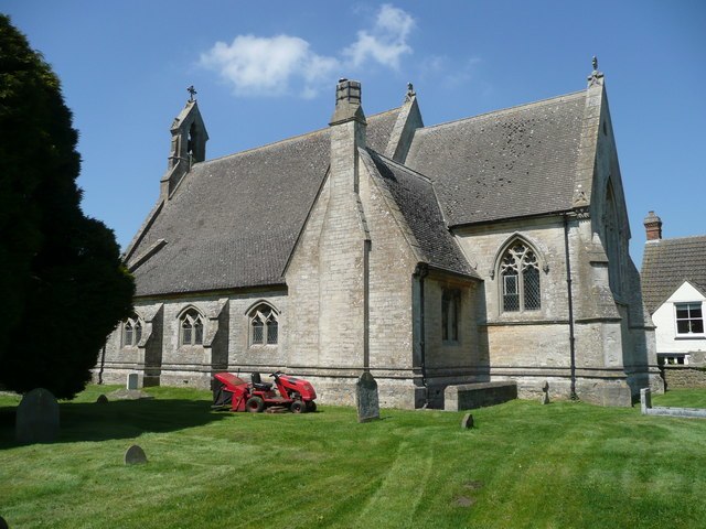
Photo: Jonathan Billinger, CC BY-SA 2.0.
Church of St Mary the Virgin is situated 2½ miles southwest of Goddard’s Farm.
Places in the Area
Nearby places include Dauntsey and Dauntsey Lock.
Dauntsey
Village

Photo: Roger Cornfoot, CC BY-SA 2.0.
Dauntsey is a village and civil parish in Wiltshire, England. It gives its name to the Dauntsey Vale in which it lies. The village is set on slightly higher ground in the floodplain of the upper Bristol Avon. Dauntsey is situated 2 miles west of Goddard’s Farm.
Dauntsey Lock
Hamlet

Photo: Maurice Pullin, CC BY-SA 2.0.
Dauntsey Lock is a hamlet, which is situated 2 miles southwest of Goddard’s Farm.
Bradenstoke
Village

Photo: Jonathan Billinger, CC BY-SA 2.0.
Bradenstoke is a village in Wiltshire, England, lying to the north of the former RAF Lyneham airbase and 1.5 miles northwest of Lyneham. Originally lying within Braydon Forest, the "stoke" means "settlement". Bradenstoke is situated 2½ miles southwest of Goddard’s Farm.
Goddard’s Farm
- Type: Farm
- Category: agriculture
- Location: Brinkworth, Wiltshire, West Country, England, United Kingdom, Britain and Ireland, Europe
- View on OpenStreetMap
Latitude
51.54307° or 51° 32′ 35″ northLongitude
-1.97157° or 1° 58′ 18″ westOpen location code
9C3WG2VH+69OpenStreetMap ID
way 735370731OpenStreetMap feature
landuse=farmyard
This page is based on OpenStreetMap, Wikidata, and Wikimedia Commons.
We’d love your help improving our open data sources. Thank you for contributing.
Satellite Map
Discover Goddard’s Farm from above in high-definition satellite imagery.
Places with the Same Name
Discover other places named “Goddard’s Farm”.
Notable Places Nearby
Highlights include Grittenham MX Track and Great Wood.
Nearby Places
Explore places such as Old Farm Animal Sanctuary and White’s Farm.
Wiltshire: Must-Visit Destinations
Delve into Stonehenge, Salisbury, Warminster, and Swindon.
Curious Farms to Discover
Uncover intriguing farms from every corner of the globe.
About Mapcarta. Data © OpenStreetMap contributors and available under the Open Database License". Text is available under the CC BY-SA 4.0 license, except for photos, directions, and the map. Photo: herry, CC BY 2.0.