Sareven Bakehouse
Sareven Bakehouse is a bakery in City of Wollongong, New South Wales which is located on Lawrence Hargrave Drive. Sareven Bakehouse is situated nearby to the community center Thirroul Railway Institute Hall, as well as near the railway station Thirroul Station.| Tap on a place to explore it |
- Email: sarevenbake@gmail.com
- Type: Bakery
- Address: 1, 367 Lawrence Hargrave Drive, Thirroul, NSW 2515
Places of Interest Nearby
Highlights include Thirroul railway station and Thirroul Beach.
Thirroul railway station
Railway station

Photo: Abesty, CC BY-SA 3.0.
Thirroul railway station is a heritage-listed railway station on the South Coast railway line in New South Wales, Australia. It serves the northern Wollongong suburb of Thirroul. It was added to the New South Wales State Heritage Register on 2 April 1999. Thirroul railway station is situated 150 metres east of Sareven Bakehouse.

Illawarra Grevillea Park
Nature reserve
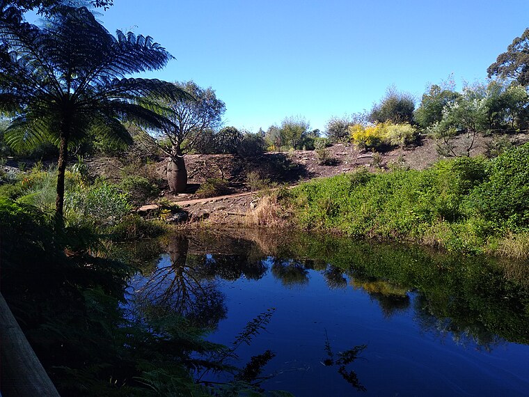
Photo: Mx. Granger, CC0.
The Illawarra Grevillea Park is a botanical garden located in Bulli on the south coast of New South Wales, Australia. Opened in 1993 by professional gardener Ray Brown, it is notable for its extensive collection of grevilleas, both cultivars and naturally occurring species.
Places in the Area
Nearby places include Thirroul and Bulli.
Thirroul
Suburb
Thirroul is a northern seaside suburb of the city of Wollongong, Australia. Situated between Austinmer and Bulli, it is approximately 13 kilometres north of Wollongong, and 73 km south of Sydney.
Bulli
Suburb

Photo: Maurice van Creij, CC BY 3.0.
Bulli is a northern suburb of Wollongong situated on the south coast of New South Wales, Australia.
Austinmer
Suburb

Photo: Abesty, CC BY-SA 3.0.
Austinmer is a northern village of Wollongong on the south coast of New South Wales, Australia. It sits in the northern Illawarra region, south of Stanwell Park and immediately north of Thirroul.
Sareven Bakehouse
- Categories: building, shop, and food
- Location: City of Wollongong, New South Wales, Australia, Oceania
- View on OpenStreetMap
Latitude
-34.31774° or 34° 19′ 4″ southLongitude
150.91738° or 150° 55′ 3″ eastOpen location code
4RQGMWJ8+WXOpenStreetMap ID
way 743809968OpenStreetMap feature
building=yesOpenStreetMap feature
shop=bakery
This page is based on OpenStreetMap, Wikidata, and Wikimedia Commons.
We’d love your help improving our open data sources. Thank you for contributing.
Satellite Map
Discover Sareven Bakehouse from above in high-definition satellite imagery.
Notable Places Nearby
Highlights include Thirroul Railway Institute Hall and Thirroul Station.
Nearby Places
Explore places such as Steel City Cycle Works and Thirroul Railway Stationers and Newsagency.
New South Wales: Must-Visit Destinations
Delve into Sydney, Mungo National Park, Newcastle, and New England National Park.
Curious Bakeries to Discover
Uncover intriguing bakeries from every corner of the globe.
About Mapcarta. Data © OpenStreetMap contributors and available under the Open Database License". Text is available under the CC BY-SA 4.0 license, except for photos, directions, and the map. Photo: Cheggas7, CC BY-SA 4.0.