London Food Centre
London Food Centre is a convenience store in Tower Hamlets, Greater London, England which is located on Roman Road. London Food Centre is situated nearby to Olga Primary School, as well as near Roman Road Adventure Playground.| Tap on a place to explore it |
- Type: Convenience store
- Also known as: “Buy 2 Save”
- Address: 407 Roman Road, London, E3 5QS
Places of Interest Nearby
Highlights include London Stadium and St Barnabas Bethnal Green.
London Stadium
Stadium

Photo: Arne mueseler, CC BY-SA 3.0 de.
London Stadium is a multi-purpose outdoor stadium at Queen Elizabeth Olympic Park in the Stratford district of London. It is located in the Lower Lea Valley, 6 miles east of central London. London Stadium is situated 1 mile northeast of London Food Centre.
St Barnabas Bethnal Green
Church

Photo: John Salmon, CC BY-SA 2.0.
St Barnabas Bethnal Green is a late 19th-century church in Bow in London, England. It is an Anglican church in the Diocese of London. The church is at the junction of Roman Road and Grove Road in the Bow West ward of London Borough of Tower Hamlets. St Barnabas Bethnal Green is situated 700 feet west of London Food Centre.
St Paul’s
Church

Photo: Ekphraster, CC BY-SA 3.0.
St Paul's, Old Ford, is a late 19th-century church in Old Ford, London, England. It is an Anglican church in the Diocese of London. St Paul’s is situated 1,200 feet northeast of London Food Centre.
Places in the Area
Nearby places include Lakeview Estate and Suttons Wharf.
Lakeview Estate
Neighborhood

Photo: Cjc13, CC BY-SA 3.0.
Lakeview Estate is a housing estate in Old Ford, east London, designed by Berthold Lubetkin. It was built on a site damaged by bombing in World War II, on Grove Road between Old Ford Road and the Hertford Union Canal.
Suttons Wharf
Neighborhood
Suttons Wharf is a mixed-use development in Bethnal Green, east London. It was historically a wharf on the Regent's Canal, south of the Cranbrook Estate and Roman Road.
Bow
Suburb
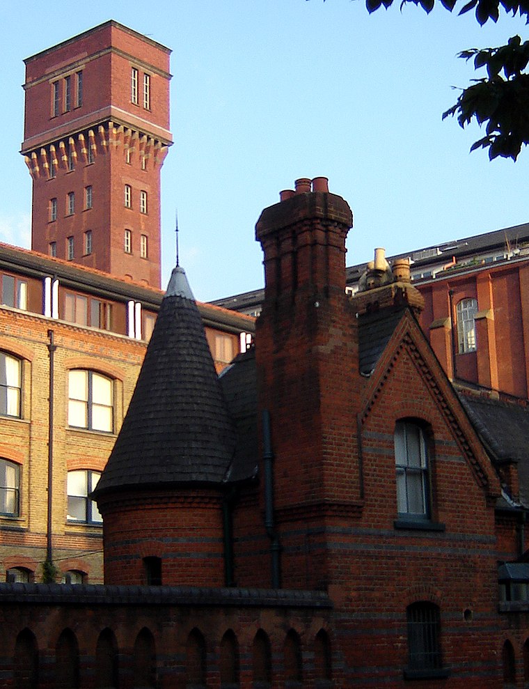
Photo: Wikimedia, CC BY-SA 2.5.
Bow is a district in East London, England and is in the London Borough of Tower Hamlets. It is an inner-city suburb located 4.6 miles east of Charing Cross.
London Food Centre
- Categories: shop and food
- Location: Tower Hamlets, Greater London, England, United Kingdom, Britain and Ireland, Europe
- View on OpenStreetMap
Latitude
51.53167° or 51° 31′ 54″ northLongitude
-0.03704° or 0° 2′ 13″ westOpen location code
9C3XGXJ7+M5OpenStreetMap ID
way 745262381OpenStreetMap feature
shop=convenience
This page is based on OpenStreetMap, Wikidata, and Wikimedia Commons.
We’d love your help improving our open data sources. Thank you for contributing.
Satellite Map
Discover London Food Centre from above in high-definition satellite imagery.
Notable Places Nearby
Highlights include Olga Primary School and Roman Road Adventure Playground.
Nearby Places
Explore places such as Coral and Sing Way.
England: Must-Visit Destinations
Delve into London, Manchester, Sheffield, and Leeds.
Curious Convenience Stores to Discover
Uncover intriguing convenience stores from every corner of the globe.
About Mapcarta. Data © OpenStreetMap contributors and available under the Open Database License". Text is available under the CC BY-SA 4.0 license, except for photos, directions, and the map. Photo: sidibousaid, CC BY 2.0.