Parc de Levilliers
Parc de Levilliers is a park in Boucherville, Longueuil, Quebec. Parc de Levilliers is situated nearby to the park Parc Marie-Anne-Messier, as well as near the playground 2-5ans.| Tap on a place to explore it |
Places of Interest Nearby
Highlights include Îles-de-Boucherville National Park and Île Grosbois.
Îles-de-Boucherville National Park

Photo: Veillg1, CC BY-SA 4.0.
The Îles-de-Boucherville National Park is a national park covering a group of five islands in the St. Lawrence River, in the city of Boucherville in Longueuil, Quebec.

Parc Joseph-Laramée
Park

Photo: Wikimedia, CC BY-SA 3.0.
Parc Joseph-Laramée is a park, which is situated 2½ km south of Parc de Levilliers.
Places in the Area
Nearby places include Montreal East and Varennes.
Montreal East
Town

Photo: Wikimedia, CC BY-SA 3.0.
Montreal East is an on-island suburb in southwestern Quebec, Canada, on the island of Montreal. Montreal-Est has been home to many large oil refineries since 1915. Montreal East is situated 4 km west of Parc de Levilliers.
Varennes
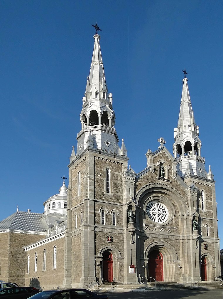
Photo: Bgag, CC BY-SA 3.0.
Varennes is a picturesque and modern town, in the regional county municipality of Marguerite-D'Youville, in Montérégie, in Quebec, Canada. Varennes is an agricultural, industrial, residential and recreational tourism destination.
Longue-Pointe
Neighborhood
Longue-Pointe was a Montreal neighbourhood now located in the borough of Mercier-Hochelaga-Maisonneuve. The neighborhood was permanently divided by the construction of the Louis-Hippolyte Lafontaine Tunnel. Longue-Pointe is situated 9 km southwest of Parc de Levilliers.
Parc de Levilliers
- Type: Park
- Category: recreation area
- Location: Boucherville, Longueuil, Montérégie, Southwestern Quebec, Quebec, Canada, North America
- View on OpenStreetMap
Latitude
45.63355° or 45° 38′ 1″ northLongitude
-73.44758° or 73° 26′ 51″ westOpen location code
87Q8JHM2+CXOpenStreetMap ID
way 751423991OpenStreetMap feature
leisure=park
This page is based on OpenStreetMap, Wikidata, and Wikimedia Commons.
We’d love your help improving our open data sources. Thank you for contributing.
Satellite Map
Discover Parc de Levilliers from above in high-definition satellite imagery.
Notable Places Nearby
Highlights include Parc Marie-Anne-Messier and 2-5ans.
Nearby Places
Explore places such as Station de pompage and Garderie Au petit boulot.
Longueuil: Must-Visit Destinations
Delve into Longueuil, Brossard, Saint-Bruno-de-Montarville, and Saint-Lambert.
Curious Parks to Discover
Uncover intriguing parks from every corner of the globe.
About Mapcarta. Data © OpenStreetMap contributors and available under the Open Database License". Text is available under the CC BY-SA 4.0 license, except for photos, directions, and the map. Photo: Omondi, CC BY-SA 3.0.