Stewarts Road Substation
Stewarts Road Substation is an electrical substation in Wandsworth, Greater London, England which is located on Stewarts Road. Stewarts Road Substation is situated nearby to the school Newton Prep, as well as near the community center FAST.| Tap on a place to explore it |
Places of Interest Nearby
Highlights include Battersea Power Station and Battersea Park railway station.
Battersea Power Station
Shopping center

Photo: Aurelien Guichard, CC BY-SA 2.0.
Battersea Power Station is a decommissioned coal-fired power station located on the south bank of the River Thames in Nine Elms, Battersea in the London Borough of Wandsworth. Battersea Power Station is situated 2,200 feet north of Stewarts Road Substation.
Battersea Park railway station
Railway station
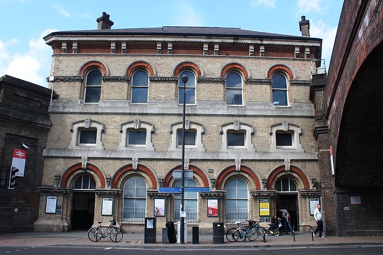
Photo: Geof Sheppard, CC BY-SA 4.0.
Battersea Park is a suburban railway station in the London Borough of Wandsworth, south London. It is at the junction of the South London line and the Brighton Main Line, 1 mile 23 chains measured from London Victoria. Battersea Park railway station is situated 1,400 feet northwest of Stewarts Road Substation.
Queenstown Road railway station
Railway station

Photo: Sunil060902, CC BY-SA 3.0.
Queenstown Road is a railway station in inner south-west London, 2 miles 50 chains south-west of London Waterloo, between Vauxhall and Clapham Junction. Queenstown Road railway station is situated 1,000 feet west of Stewarts Road Substation.
Places in the Area
Nearby places include Nine Elms and Rosery Gate To Battersea Park.
Nine Elms
Quarter
 Nine Elms is an area of south-west London, England, within the London Borough of Wandsworth, with some parts extending into the neighbouring London Borough of Lambeth.
Rosery Gate To Battersea Park
Locality

Photo: Apollondron, CC BY-SA 4.0.
Rosery Gate To Battersea Park is a locality.
Churchill Gardens
Neighborhood

Photo: Stephen Richards, CC BY-SA 2.0.
Churchill Gardens is a large housing estate in the Pimlico area of Westminster, London. The estate was developed between 1946 and 1962 to a design by the architects Powell and Moya, replacing Victorian terraced houses extensively damaged during the Blitz.
Stewarts Road Substation
- Type: Electrical substation
- Address: 26 Stewarts Road, London, SW8 4DQ
- Category: industry
- Location: Wandsworth, Greater London, London, England, United Kingdom, Britain and Ireland, Europe
- View on OpenStreetMap
Latitude
51.47594° or 51° 28′ 33″ northLongitude
-0.14185° or 0° 8′ 31″ westOperator
UK Power NetworksOpen location code
9C3XFVG5+97OpenStreetMap ID
way 754319888
This page is based on OpenStreetMap, Wikidata, and Wikimedia Commons.
We’d love your help improving our open data sources. Thank you for contributing.
Satellite Map
Discover Stewarts Road Substation from above in high-definition satellite imagery.
Notable Places Nearby
Highlights include Newton Prep and FAST.
Nearby Places
Explore places such as Patmore Estate / Drury House and Beattie House.
London: Must-Visit Destinations
Delve into South Kensington-Chelsea, Heathrow Airport, City of London, and Westminster.
Curious Electrical Substations to Discover
Uncover intriguing electrical substations from every corner of the globe.
About Mapcarta. Data © OpenStreetMap contributors and available under the Open Database License". Text is available under the CC BY-SA 4.0 license, except for photos, directions, and the map. Photo: PAUL FARMER, CC BY-SA 2.0.